
McClure Pass Summit

Near Marble, CO
MCCLURE PASS SUMMIT
A BRIEF SUMMARY OF MCCLURE PASS SUMMIT
The McClure Pass is a great destination for landscape photographers and outdoor enthusiast. It is a 5-10 stretch just south of Marble, CO on CO 133 that runs through a huge Aspen grove with nice mountain view are all sides. You can easily spend a whole day on this stretch of road.
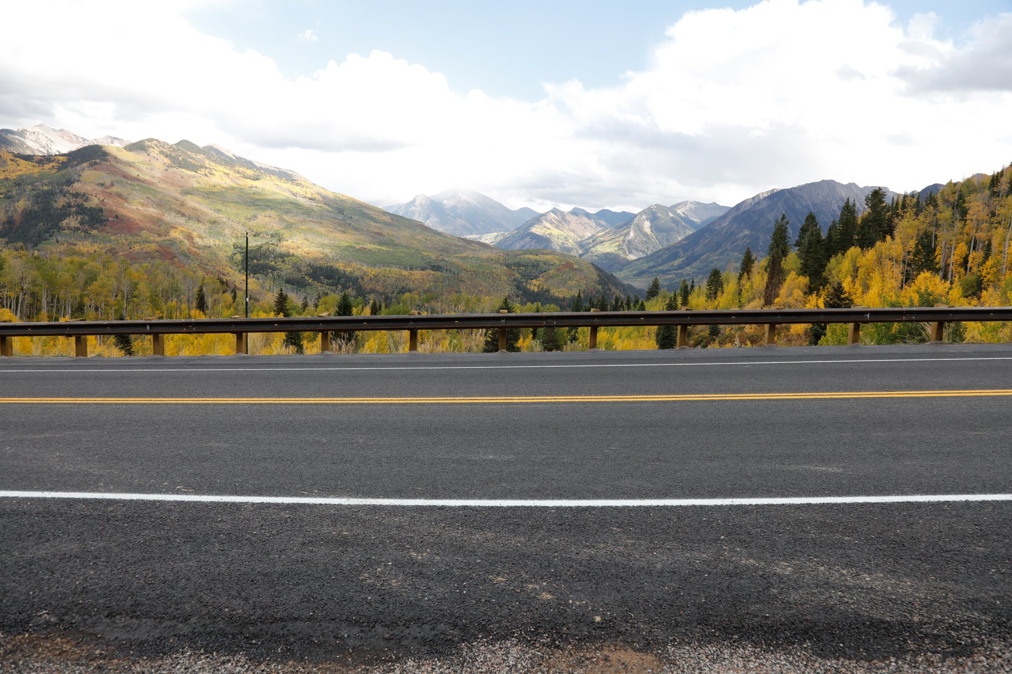
The views on both the east and west sides are stunning and provide dozens and dozens of great photographic opportunities. This particular location is just north of the summit of the McClure Pass (about 8,800 ft.) and provides a magnificent view of several southeast facing mountains ranges in the distance. In the fall, the Aspens provide an assortment of gold, orange and yellow hues with the backdrop of snow covered mountains. The location is definitely worth the visit.
Images and location summary by Tim Wier

Annual Subscription
Lifetime Membership
DATA POINTS INCLUDED WITH MCCLURE PASS SUMMIT SUMMARY
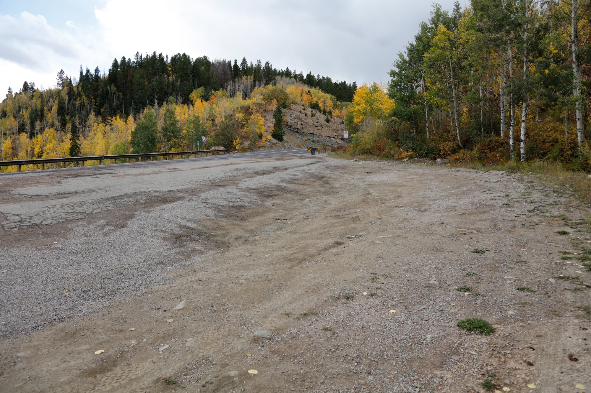
I would rate the difficulty of this trail as a 1 on a scale of 1-5 (with 5 being most difficult). This location is a simple 30 yd. walk across the road from the pullout at the summit of McClure Pass.
This is a vista that will stop you in your tracks as you drive by. You can shoot this as an extreme panorama, a straight forward shot or a nice compression. Literally, there are dozens of compositions along a rail across from the parking area. I would suggest walking up and down the rail to find the composition you are looking for before setting up your tripod.
This location is a grand vista and can be taken either extremely wide to a medium compression (16mm – 70mm). The above image was taken with a 24mm lens.
8,725 Ft. Elevation
Other Resources Available with Membership
KMZ Trail File
Directions
Best Time of Day to Shoot
Best Time of Year to Shoot
Equipment Needed
Permits Required
Direction of Shot
Google Maps Birds-Eye-View
Number of Photographers to Expect
Cell Service
Overnight Lodging/Camping
Nearby Restaurants
Area Guides and Workshops
Other Resources
LOCATION SUMMARIES WRITTEN BY PROFESSIONAL PHOTOGRAPHERS


