
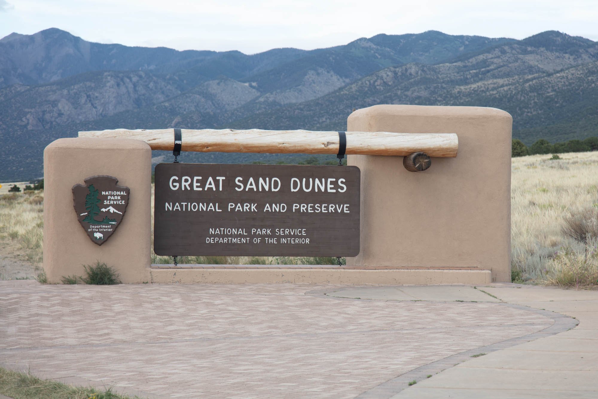
Great Sand Dunes National Park

Southwestern Colorado
GREAT SAND DUNES NP
A BRIEF SUMMARY OF GREAT SAND DUNES NP
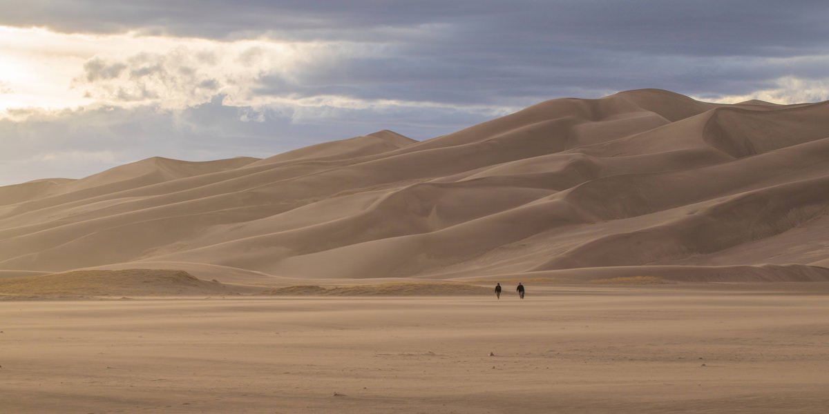
Amidst the high desert brush land in south-central Colorado lie the Great Sand Dunes National Park, the tallest sand dunes in North America. Over 750 ft. tall and covering over 30 square miles, the dunes within Great Sand Dunes National Park are an imposing force as they rise out of the San Luis Valley.
Surrounded on the north and east by the 13,000+ ft. Sangre de Cristo mountain range, the dunes create an incredible landscape worthy of at least 2-3 days of your time. Depending on the time of year, snow-capped peaks, seasonal creeks, and colorful wildflowers provide for a multitude of creative photographic opportunities.
Photos and location summary by Wolfe Repass

Annual Subscription
Lifetime Membership
DATA POINTS INCLUDED WITH GREAT SAND DUNES NP SUMMARY
I would rate the difficulty of this trail as a 2-4 on a scale of 1-5 (with 5 being most difficult).
The trail difficulty depends on where you shoot. If you stay along the flat area near the creek bed, I would rate it as a 2 on a scale of 1-5 (with 5 being the most difficult). This entire area is sand, so it is similar to walking on a beach. At certain times of the year, Medano Creek will be flowing across this flat area (particularly in late spring and early summer), but it is usually shallow enough to walk through comfortably.
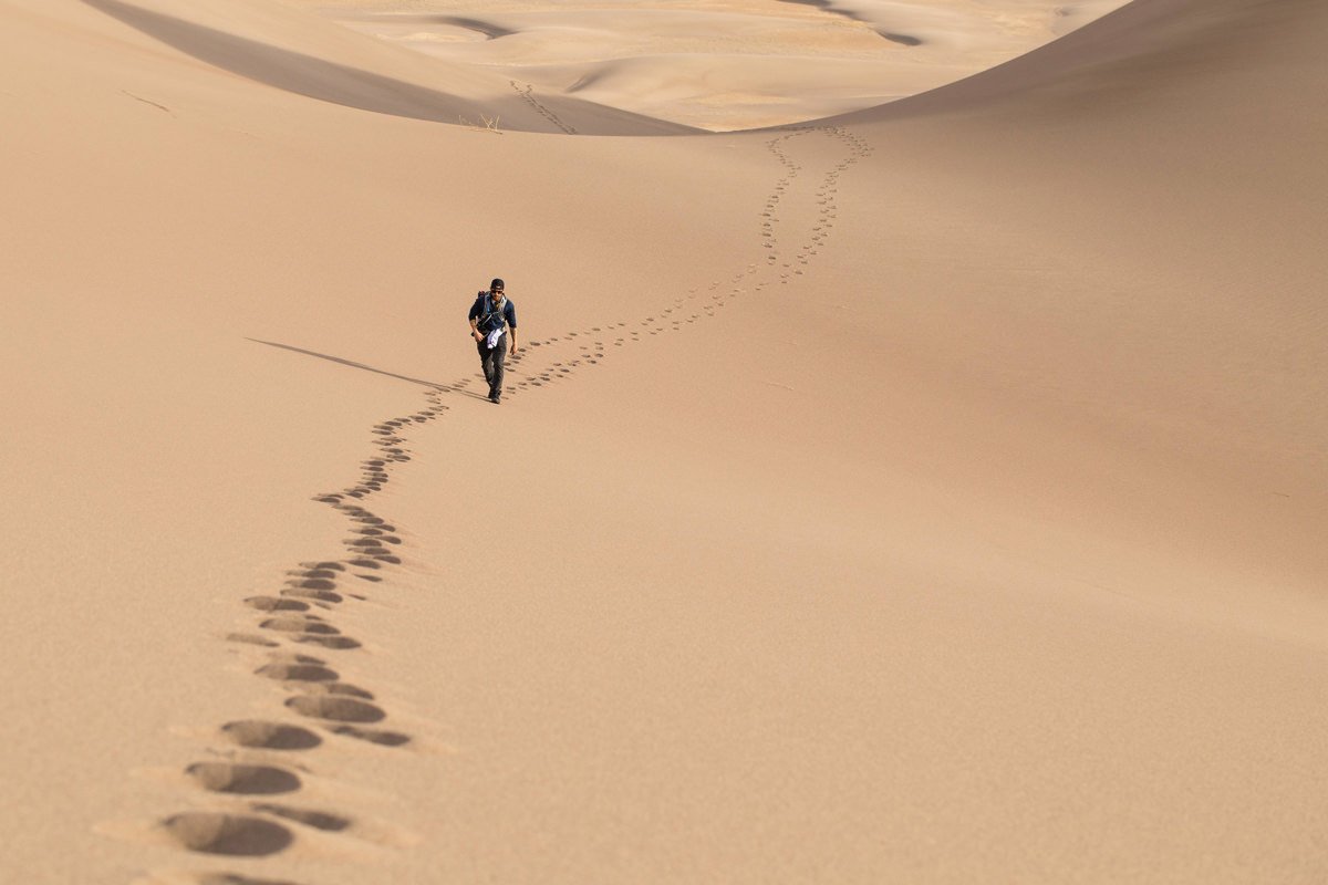
If you decide to climb the dunes for different shot perspectives (like the photo above), I would rate the trail as a 4 due to:
steep climbing on sand - climbing a 750 foot tall mountain is challenging, but when that mountain is made out of sand it becomes exponentially more difficult,
there is no shelter from the sun and sand surface temperatures during the summer can reach up to 150 °F, so it is important to come prepared and avoid getting caught out at the wrong time,
there are no trees or shelters on the dunes to protect oneself from exposure,
the high elevation - Elevation within the park ranges from 8,200 feet to 13,604 feet (2,499m– 4,146m), which means that sun exposure is more severe and can quickly lead to dehydration or worse. The elevation also makes it harder to climb and
there are no designated trail markers - the farther you go from the parking area, the easier it is to lose your path.
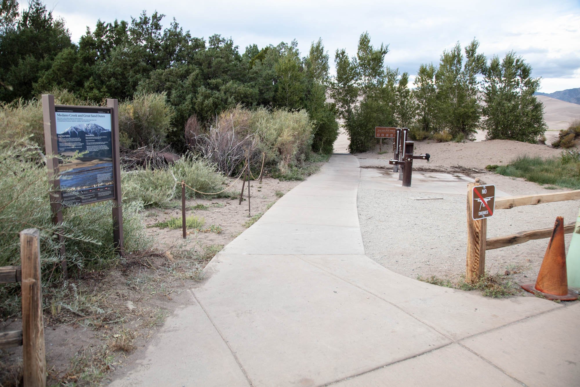
The road to and within the Park are well-maintained, paved roads. The dunes are accessible from several clearly designated parking areas north of the Visitor’s Center, with the primary one called “Dunes Parking”. From each parking lot, it is a simple 30-50 meter walk to the sandy area that surrounds the main dune field.
Photography at the Dunes is all about contrast and depth. For me, shooting the dunes is about curves, lines, dimension, contrast, shapes, and shadows. You are often looking for an abstract in the middle of the obvious. Flat light makes it difficult to capture these moods, so shooting early in the morning or late in the afternoon/evening provides the best photographic opportunities.
Special Note: The Dunes are constantly shifting shapes as they are formed and moved by wind, so what is present one year may be completely different the next. It is important to stop and look at what you are seeing to identify unique...
Given the vastness of the dunes there are multiple composition opportunities. I suggest bringing a range of lenses that cover ultra-wide-angle (16mm – 35mm) to mid telephoto (70mm – 200mm) to provide flexibility. The shot above was taken with a 100mm lens.
8,200 to 13,604 ft - Elevation (depending on where you are on the dunes)
Other Resources Available with Membership
KMZ Trail File
Directions
Best Time of Day to Shoot
Best Time of Year to Shoot
Equipment Needed
Permits Required
Direction of Shot
Google Maps Birds-Eye-View
Number of Photographers to Expect
Cell Service
Overnight Lodging/Camping
Nearby Restaurants
Area Guides and Workshops
Other Resources
LOCATION SUMMARIES WRITTEN BY PROFESSIONAL PHOTOGRAPHERS


