
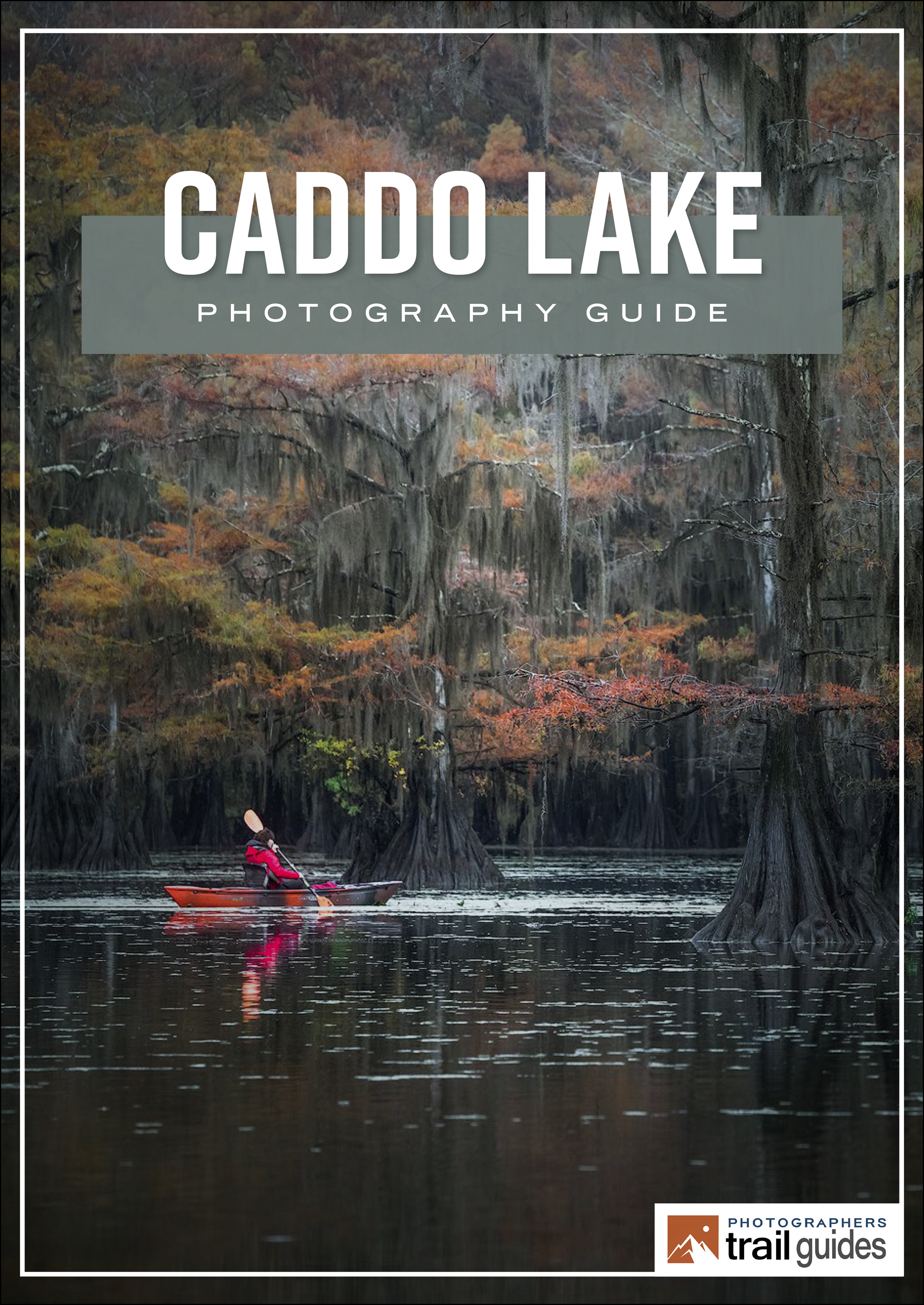
Caddo Lake

Near Uncertain, TX
MILL POND AT CADDO LAKE
A BRIEF SUMMARY OF MILL POND AT CADDO LAKE
Caddo Lake, found deep in the heart of East Texas, is a unique swamp area filled with moss-covered Bald Cypress trees, with an abundance of wildlife, and is home to a unique ecosystem with remarkable biodiversity.
But, for a few weeks in November, this special place transforms into a magical, mystical hideaway that provides some of the most beautiful fall colors the south has to offer. Pastel colors placed atop the gray bald cypress trees with perfectly still waters (and sometimes a layer of fog rising from the water) can create lasting memories and an amazing photography experience.
Images and location summary by Tim Wier
We also offer a comprehensive Photographers Guidebook for CADDO LAKE

Annual Subscription
Lifetime Membership
DATA POINTS INCLUDED WITH MILL POND AT CADDO LAKE SUMMARY
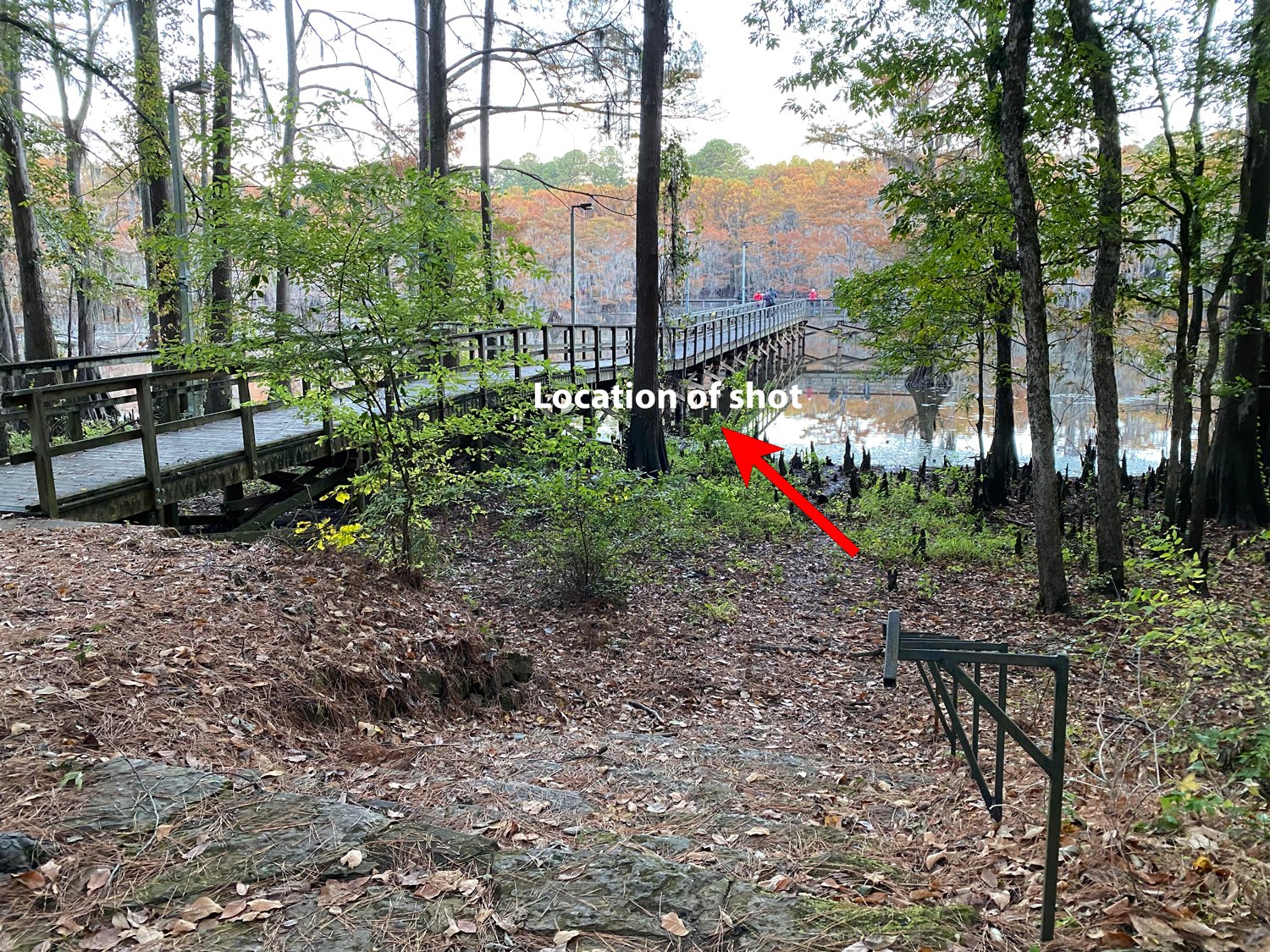
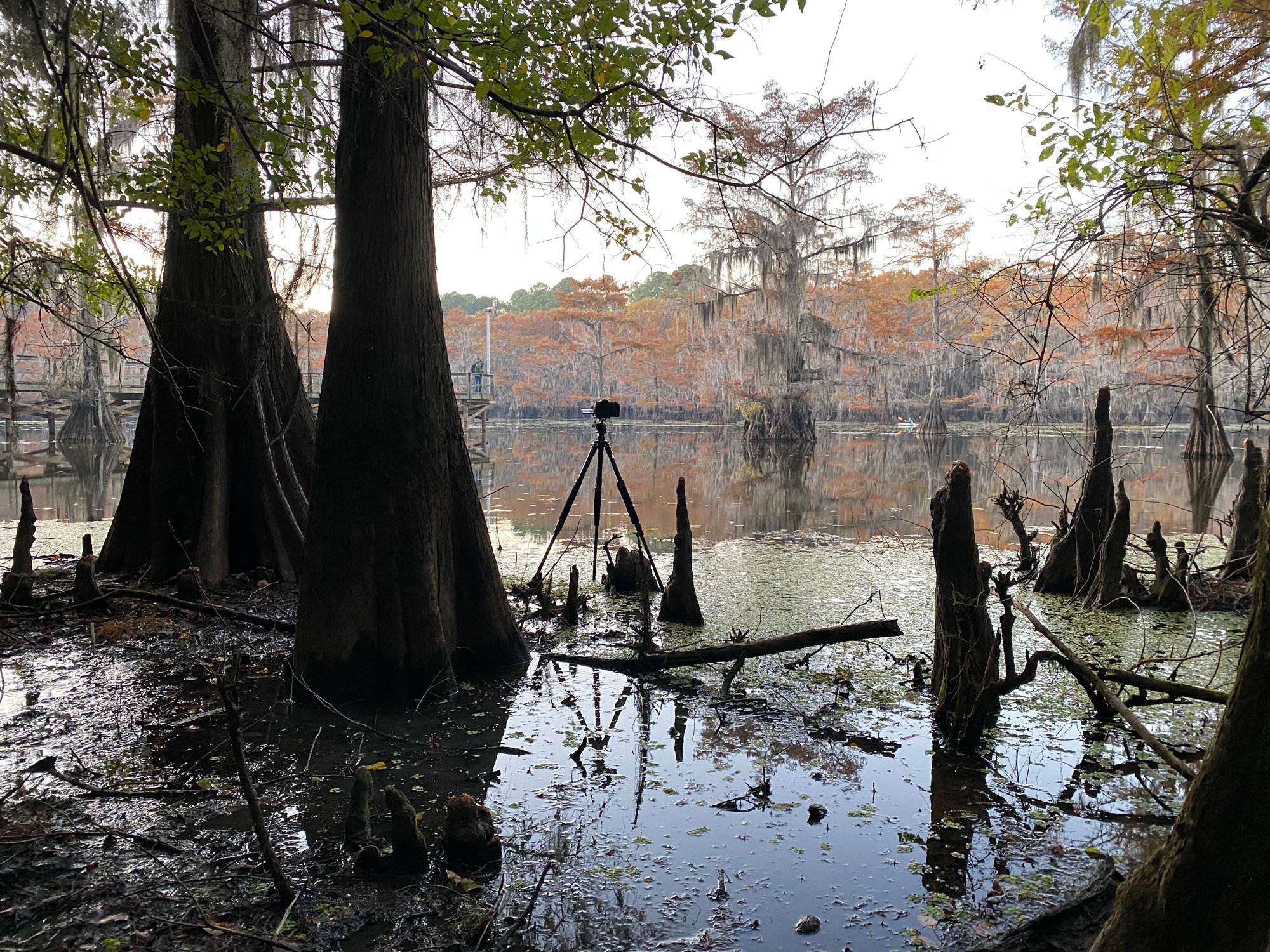
I would rate the difficulty of this trail as a 1 on a scale of 1-5 (with 5 being the most difficult). The walk from the Mill Pond parking area at Caddo Lake State Park to this location of the shot is only about 20 yds. The only challenge is you may have to stand in the mud (or water) to get this shot.
In my time photographing around Caddo Lake, I found it best to shoot either early morning (before the sun crest the trees on the north of the pond) or evening to dusk (after the sun no longer touches the trees to the north of the pond) and use long(er) exposures when possible. Those two principles came into play while taking the image above.
The trees and moss around this area are primarily gray during the fall, and the leaves are what provide the stunning colors and contrast. Additionally, the pond during the blue/golden hours is relatively still, which can provide perfect reflections. However, I found reflections from the pond …
When shooting at the Mill Pond - I brought a 24-105mm and a 70-200mm lens. Of the 50+ images I took, all but 2 were taken with the 70-200mm lens. This is my shooting style, and I did not want to include the sky in any images. Your compositions may be different.
The image above was taken @ 176 mm, f8 for 1.0 seconds, and ISO 100.
1,256 Ft. Elevation
Other Resources Available with Membership
KMZ Trail File
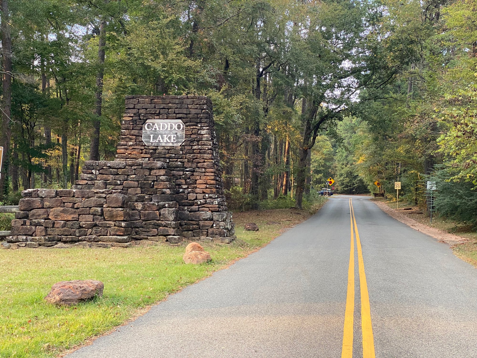
Directions
Best Time of Day to Shoot
Best Time of Year to Shoot
Equipment Needed
Permits Required
Direction of Shot
Google Maps Birds-Eye-View
Number of Photographers to Expect
Cell Service
Overnight Lodging/Camping
Nearby Restaurants
Area Guides and Workshops
Other Resources
LOCATION SUMMARIES WRITTEN BY PROFESSIONAL PHOTOGRAPHERS


