Spirit Falls
Columbia Gorge, WA
SPIRIT FALLS
A BRIEF SUMMARY OF SPIRIT FALLS
Spirit Falls - is a thrilling and magical spot hidden in one of the many ravines in the Columbia River Gorge just north of the Washington border. This location is one of the most beautiful and powerful falls I have seen in the Columbia Gorge area.
The falls are very difficult to get to and this locations is not recommended for most people.If you make the hike to the falls, the amazing beauty, serenity, and cool water mist makes the falls a place you will never forget.
Images and location summary by Tim Wier
Annual Subscription
Lifetime Membership
DATA POINTS INCLUDED WITH SPIRIT FALLS SUMMARY
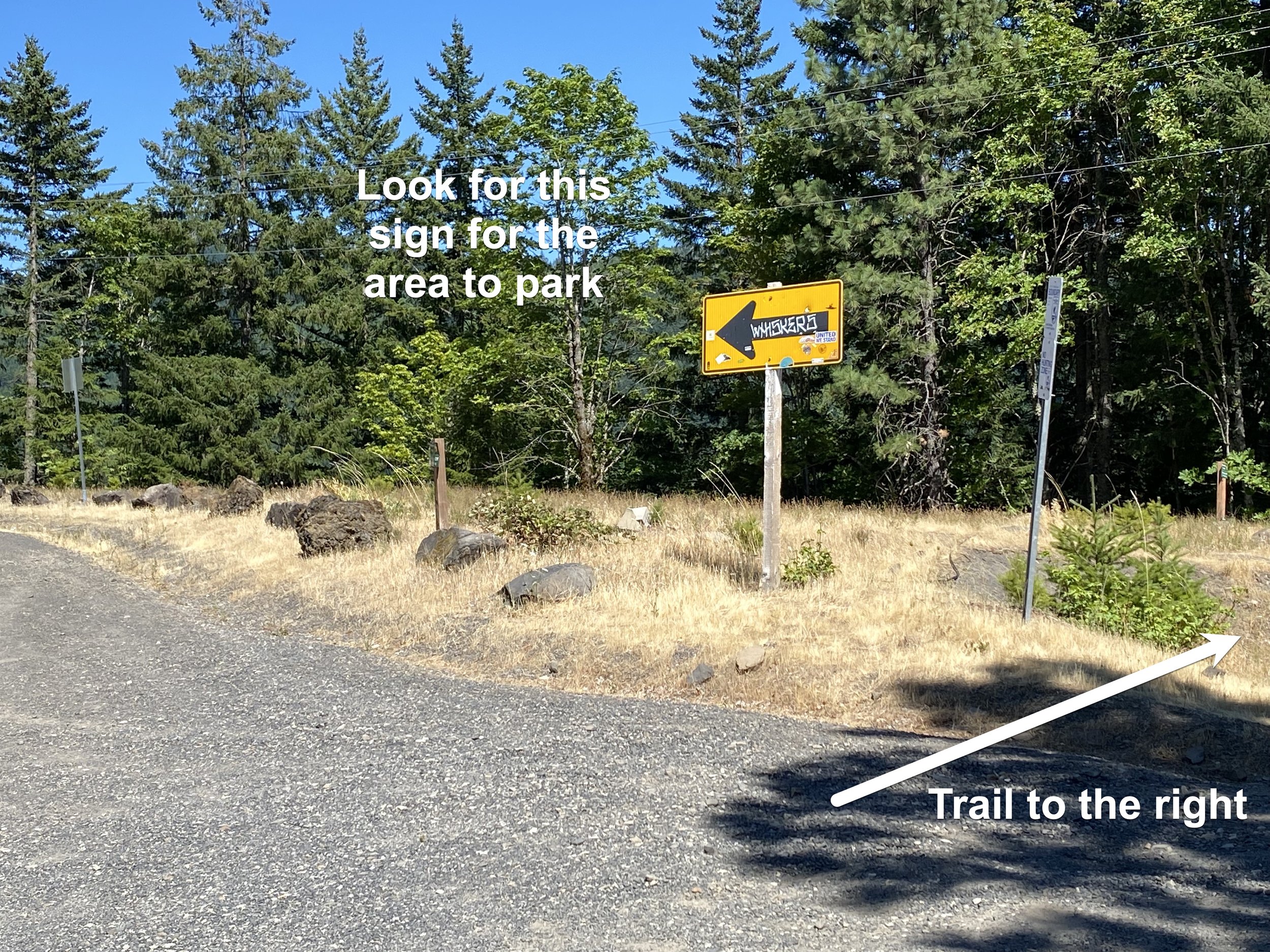
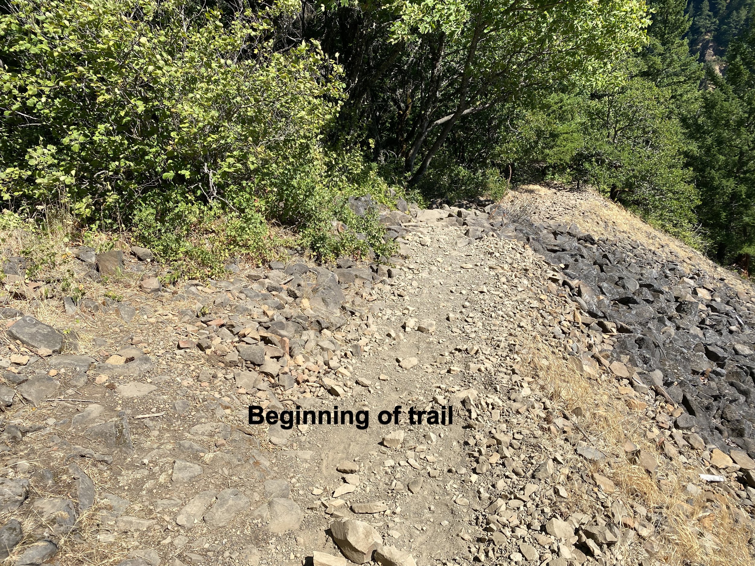
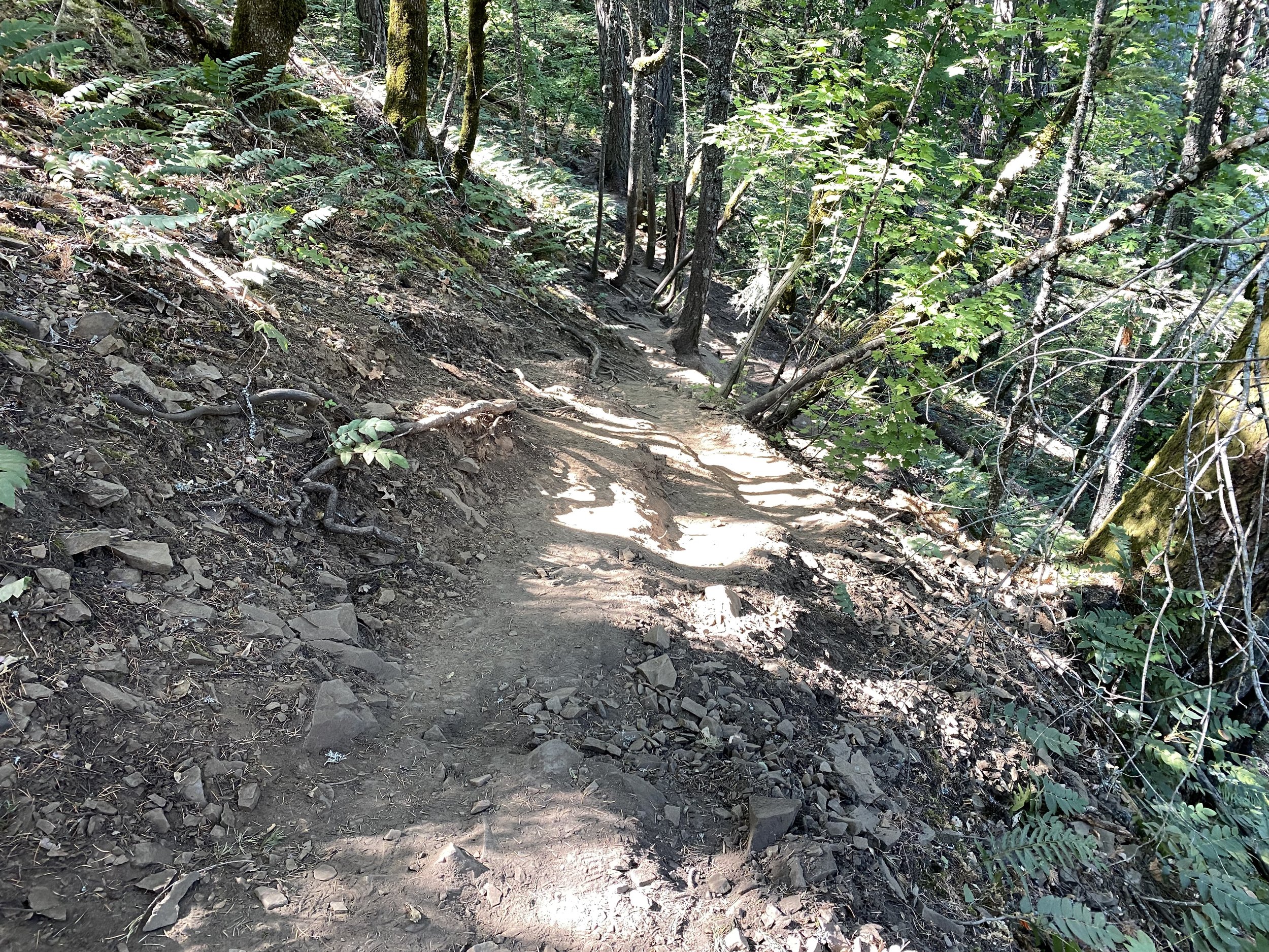
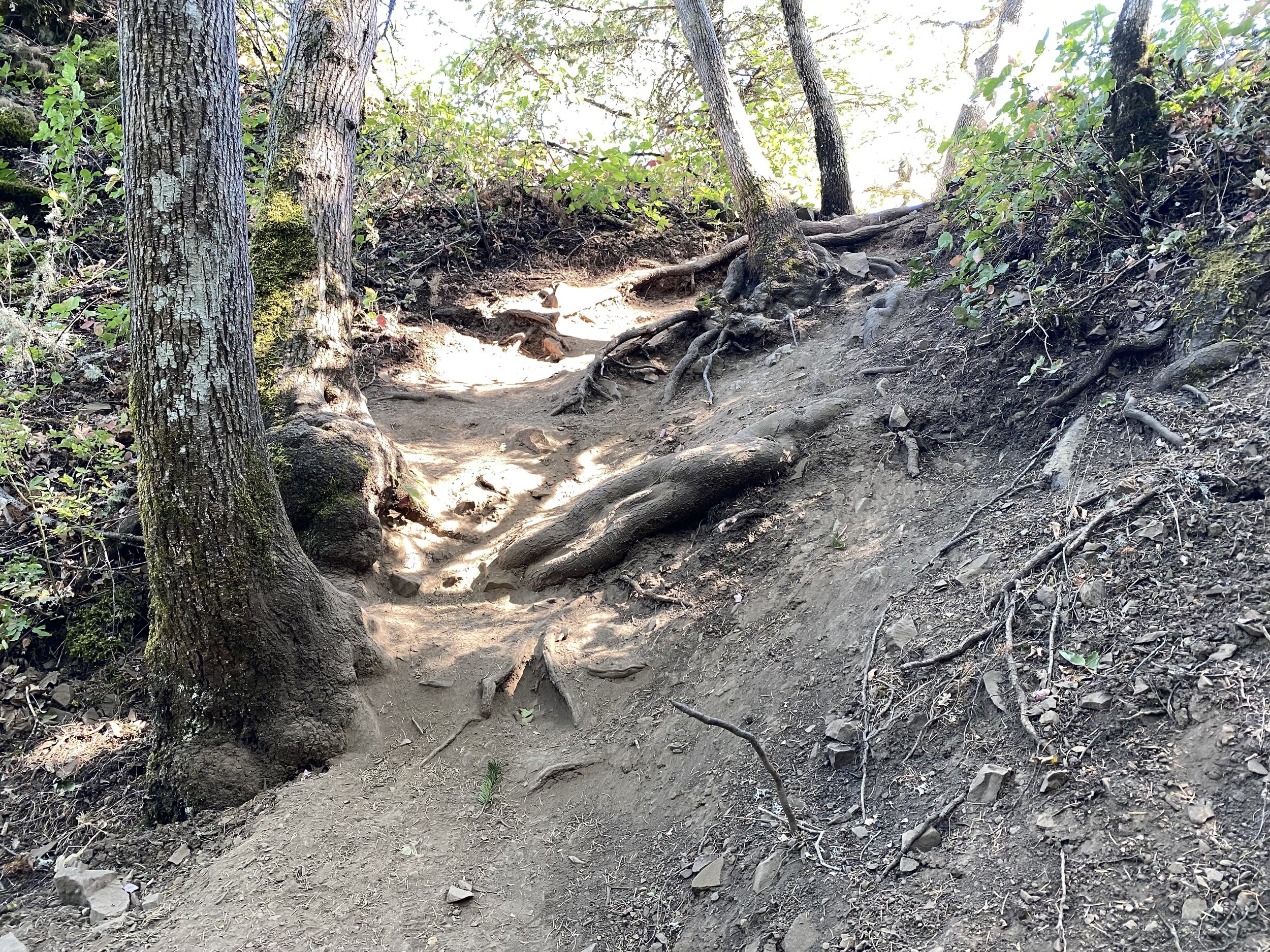
I would rate the difficulty of this trail to Spirit Falls as a 3 to 4 on a scale of 1-5 (with 5 being most difficult). The hike is only a half a mile each way, but it is very steep (5oo ft elevation) and loose gravel for much of the way. I strongly recommend hiking boots to get as much grab as possible and water as you will need it for the hike back up the hill.
The shot above was taken down on the water level and the hike to this spot is EXTREME. However, you can photography the falls from the trail will no difficulty.
As mentioned, the shot above was taken at the water level - which is very difficult to get to - and is not recommended. To get to this shot, you have to make your way down to the level of the river. To get there you need to hike down along a narrow rock path which can be wet, slick and pretty dangerous. Once down to the level of the river, you need to find a safe position to set up your tripod and capture your masterpiece. Again, getting this shot is risky and I would strongly suggest not trying this location by yourself.
Other locations to shot Spirit Falls - you can easily photograph the falls from the end of the trail (see Mark Metternick’s and Rob Stains images below).
Photographing from the trails end - I would suggest a 50-15mm lens. Photographing from the water level will require an ultra-wide lens or pano.
184 Ft. Elevation
Other Resources Available with Membership
KMZ Trail File
Directions
Best Time of Day to Shoot
Best Time of Year to Shoot
Equipment Needed
Permits Required
Direction of Shot
Google Maps Birds-Eye-View
Number of Photographers to Expect
Cell Service
Overnight Lodging/Camping
Nearby Restaurants
Area Guides and Workshops
Other Resources


