
Sahalie Falls

Three Sisters Wilderness, OR
SAHALIE FALLS
A BRIEF SUMMARY OF SAHALIE FALLS
Sahalie Falls is a powerful, but little heard of water fall along the McKenzie River in central Oregon. The destination of the falls is easy to find (right off of the road) and the intense water flow makes this spot a must stop while in Central Oregon.
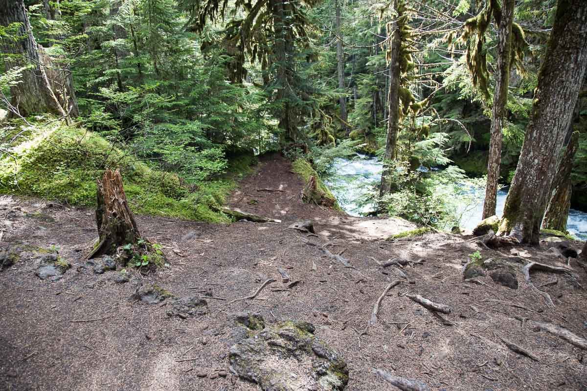
The view of the Sahalie Falls visitors stand is a simple postcard shot. However, the picture above was taken down the trail about 100yds. and along on the banks of the McKenzie River. I have sat in the spot for hours just taking in the sounds and peaceful nature of the falls.
Images and location summary by Tim Wier
Annual Subscription
Lifetime Membership
DATA POINTS INCLUDED WITH SAHALIE FALLS SUMMARY
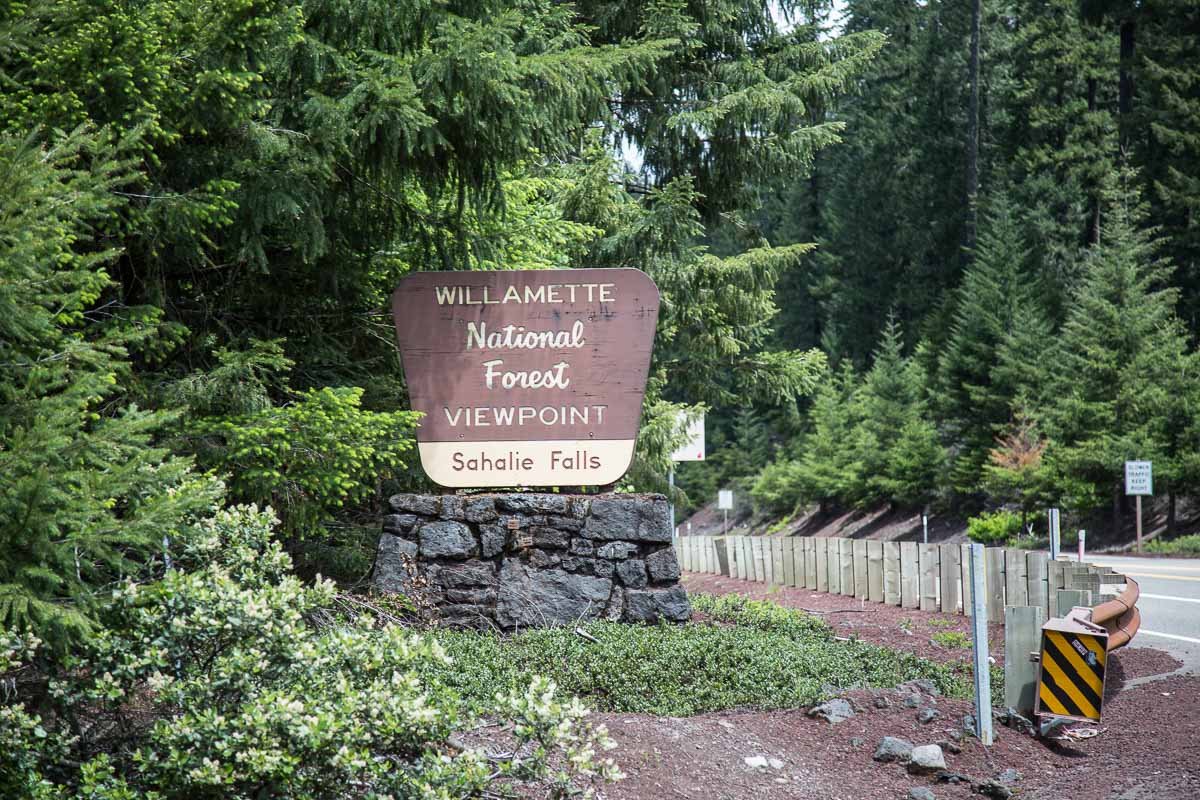
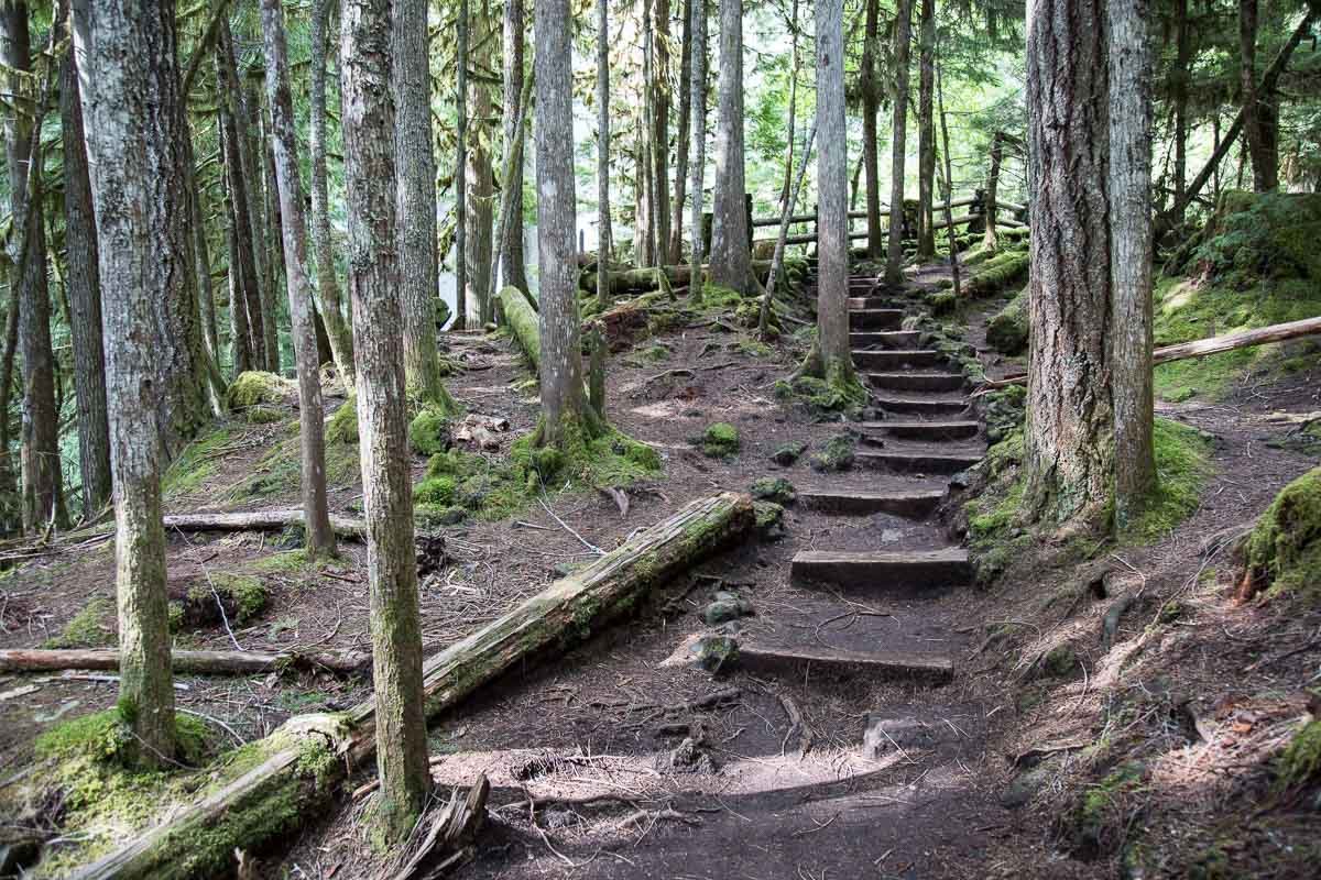
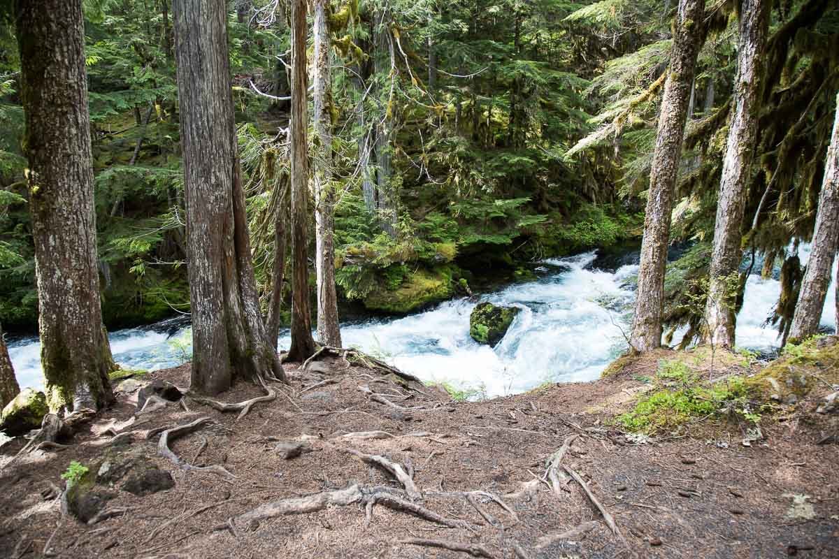
I would rate the difficulty of this trail as a 3 on a scale of 1-5 (with 5 being most difficult). The location of this shot is an easy 200yd. walk from the Shalie Falls parking lot directly off of OR-126. The reason for rating this as a 3 is because to get to the location of this shot you have to hike down a short but serious slope to the banks of the McKenzie River. Caution at this location is paramount, as falling into the McKenzie River would be catastrophic.
To get to the location of this picture, you have to walk down a slope off of the main trail and sit along the McKenzie River. There are several different compositions from this spot: wide angle, standard, or compression.
The shot above was made by stitching together 4 shots vertically with a 24mm lens and panoramic tools. You can use anything from a 11mm to a 100mm lens, depending on the composition you are looking for.
2,861 Ft. Elevation
Other Resources Available with Membership
KMZ Trail File
Directions
Best Time of Day to Shoot
Best Time of Year to Shoot
Equipment Needed
Permits Required
Direction of Shot
Google Maps Birds-Eye-View
Number of Photographers to Expect
Cell Service
Overnight Lodging/Camping
Nearby Restaurants
Area Guides and Workshops
Other Resources
LOCATION SUMMARIES WRITTEN BY PROFESSIONAL PHOTOGRAPHERS


