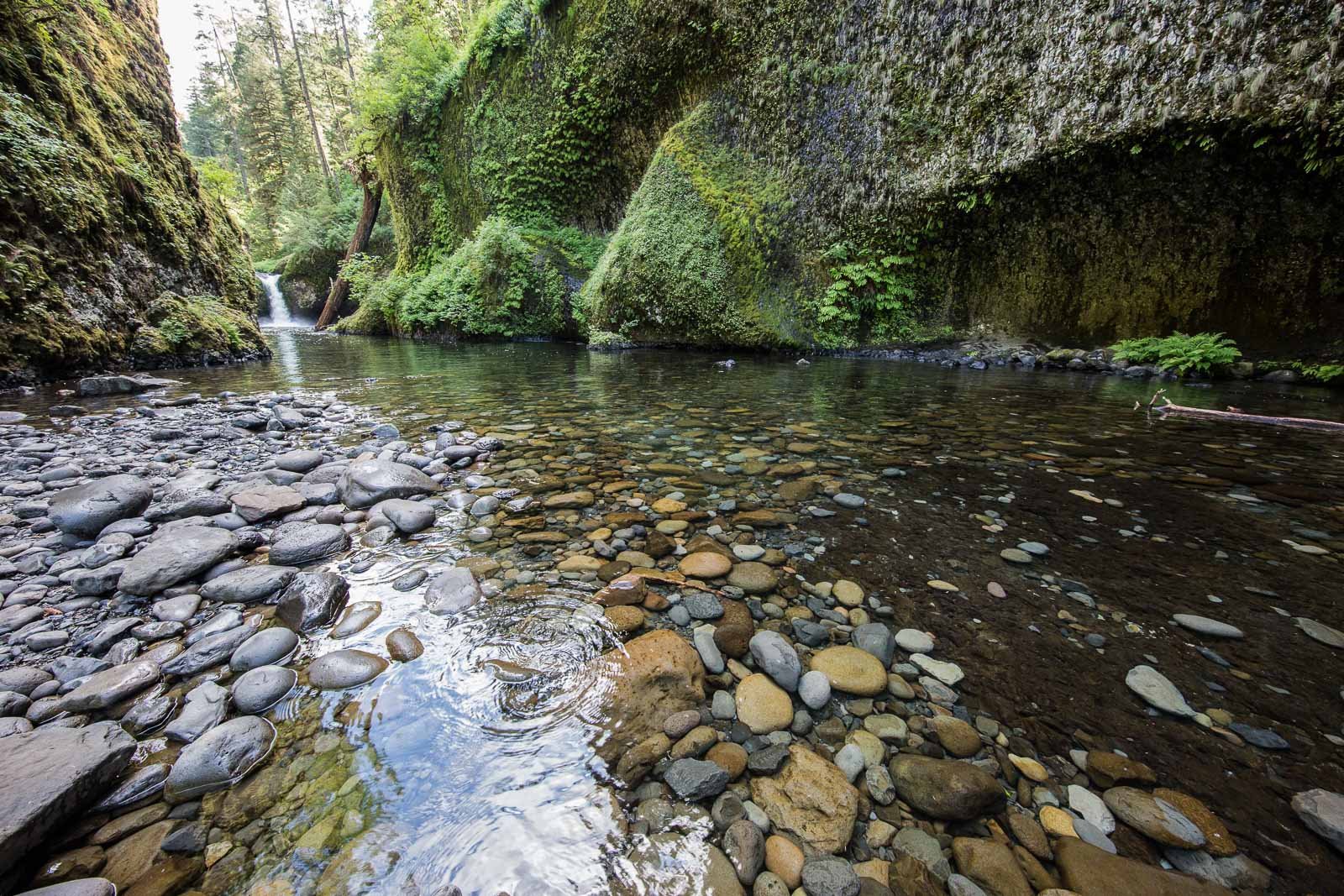
Punch Bowl Falls
Columbia Gorge, OR
PUNCH BOWL FALLS
A BRIEF SUMMARY OF PUNCH BOWL FALLS
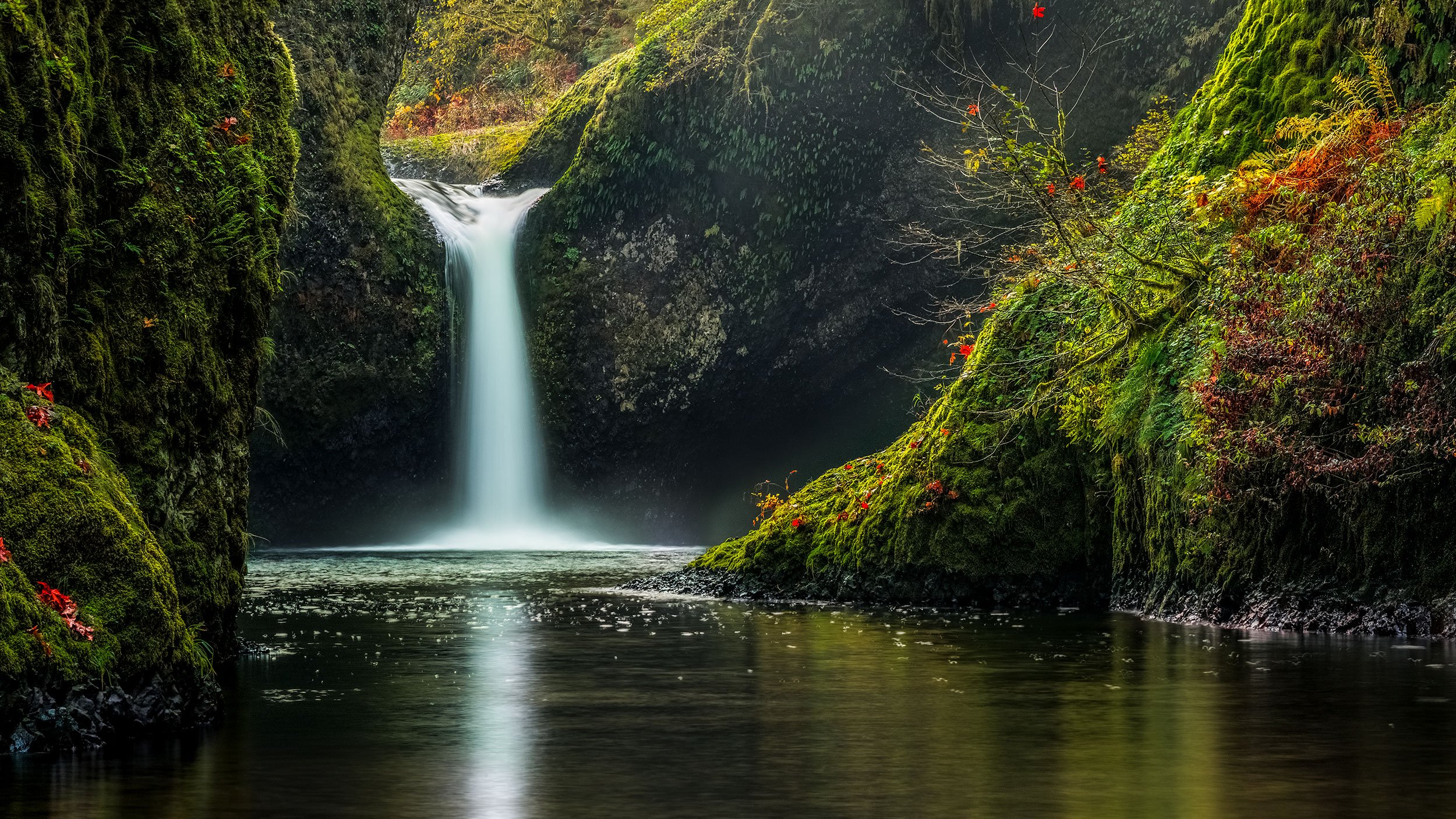
Punch Bowl Falls is one of the most beautiful waterfalls in the Columbia Gorge. Rarely does a year go by without seeing Punch Bowl Falls featured on a major calendar or showing up on a list of favorite destinations.
There are two classic vantage points to photograph this awesome waterfall: one from above (Upper) and one from below (Lower). The image above is from Lower Punch Bowl Falls. Because of the picturesque natural beauty there are many, many tourists and photographers that make the trek to this location. If you want a great shot without competing for space, you need to arrive early in the morning.
Images and location summary by Tim Wier
Annual Subscription
Lifetime Membership
DATA POINTS INCLUDED WITH PUNCH BOWL FALLS SUMMARY
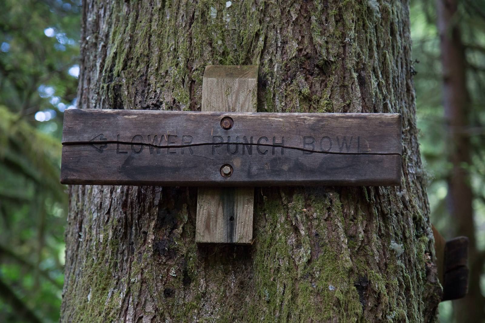
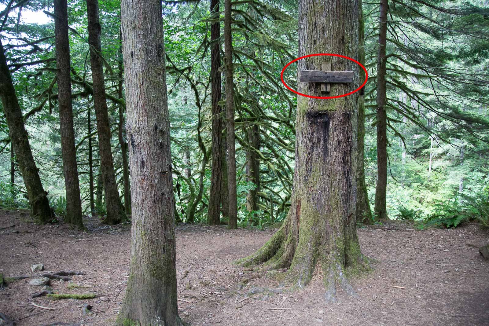
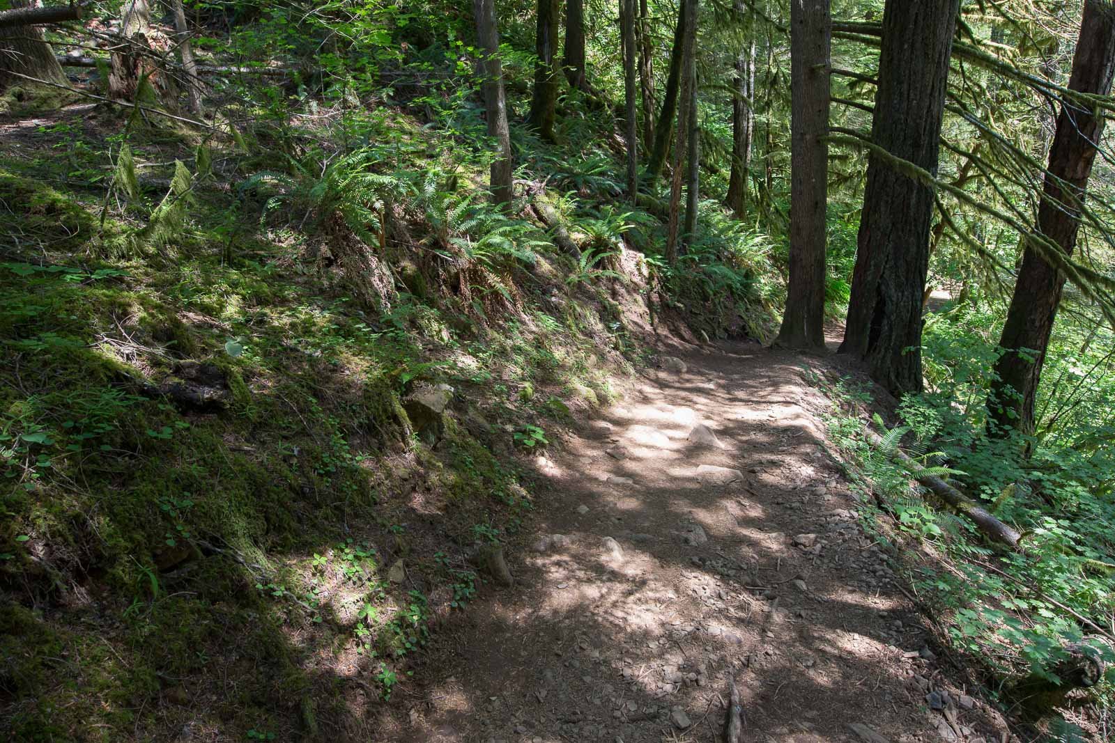
I would rate the difficulty of this trail as a 3 on a scale of 1-5 (with 5 being most difficult). The hike to Lower Punch Bowl Falls is approx. 2 miles from the beginning of the Eagle Creek Trailhead with an incline of 500ft. The rocky dirt trail is well marked, but has some difficult parts along the way. The trail runs along a steep canyon above the Eagle Creek and in places has a 200ft. drop to the river.
Special Note: There are 2 sections along the trail that are VERY narrow, wet, slick, and dangerous. Both of these sections have metal cables attached to the rock wall for handrails. These areas are not wide enough for oncoming hikers, so caution and patience are needed.
From the Eagle Creek trail, the ¼ mile hike down to the Lower Punch Bowl Falls (on Eagle Creek) is steep in some places and slick around the wet rocks in the creek.
There are lots of ways to shoot Punch Bowl Falls: wide angle, standard, or even a compression shot. However, most of the shots will be taken while standing in the creek. The rocks are very slick, and it’s easy to fall or twist an ankle.
The above shot was taken with a 50mm lens. Depending on the composition you are looking for, you can use a 35-135mm lens.
44 Ft. Elevation
Other Resources Available with Membership
KMZ Trail File
Directions
Best Time of Day to Shoot
Best Time of Year to Shoot
Equipment Needed
Permits Required
Direction of Shot
Google Maps Birds-Eye-View
Number of Photographers to Expect
Cell Service
Overnight Lodging/Camping
Nearby Restaurants
Area Guides and Workshops
Other Resources

