Calm Before the Storm
Calm before the storm
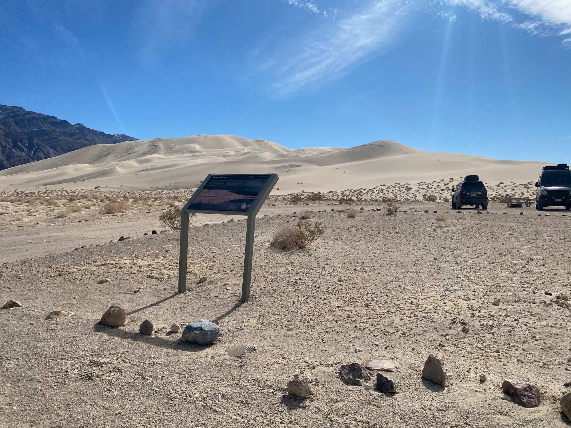
Eureka Dunes, Death Valley NP
The Eureka Dunes are located in a remote section of the northern part of Death Valley. In my opinion, they offer the best dune photographic opportunities in the southwest.
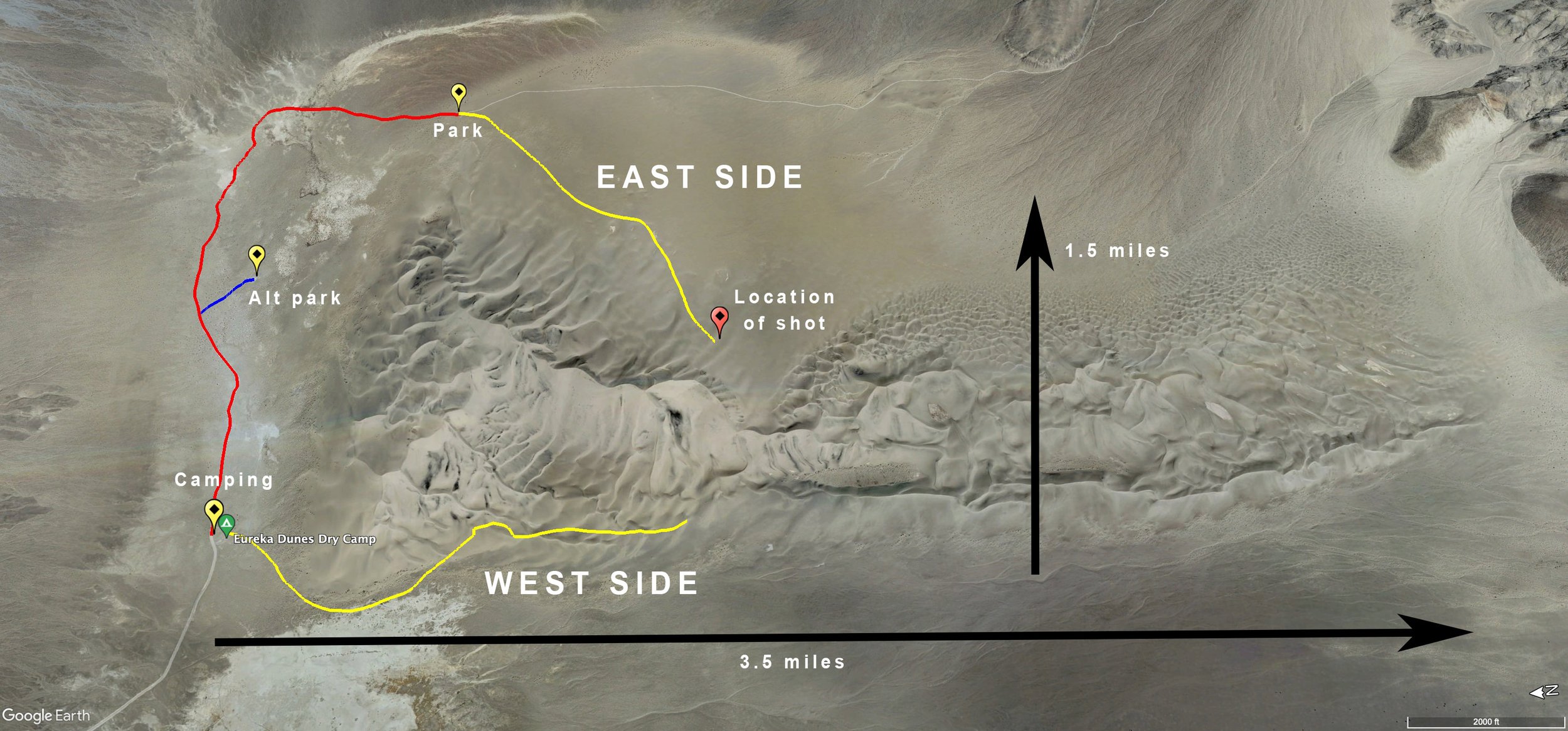
This location is very hard to get to but provides many great curves, textures, abstracts, windstorms, and footprint-free dunes compared to other places in the park. The dunes run about 3.5 miles long (north to south) and 1.5 miles (east to west), with the highest point 700 feet above the base—making them the second tallest dunes in the country. Both sunset and sunrise offer great opportunities here, and the relative isolation of the Eureka Dunes makes it a very attractive location for creative thought for many photographers.
Eureka Dunes is a good location for 2-3 days of landscape photography. But, before considering shooting here, know this place is way off the grid, and there is nothing—and I mean nothing—anywhere around. So make sure you bring plenty of food, water, and shelter, as you will be lucky to see more than a handful of people daily.
Images and location summary by Tim Wier
Trail Difficulty - HARD
The difficulty of this trail is a 4.5 on a scale of 1-5 (with 5 being most difficult). The rating of 4.5 is based both on the drive to Eureka Dunes and the hiking into and around the very large dune area (with up to 3-6 miles roundtrip). The last 10 miles to the dunes is on a bone-jarring road with washboards and sharp rocks (5-10 mph). SLOW AND STEADY.
The hike from one of the parking lots/campsites is level and only somewhat sandy - up until you reach the dunes. As you can imagine, hiking up a 200ft. sandy dune is very difficult and can zap you of energy. Always be aware of where you are and how to get back to your starting point.
GPS Coordinates & Elevation
2,900ft Elevation
View In Google earth
Download KMZ Trail File
Click Here to download the KMZ file for this location.
Directions
CLICK HERE to get driving directions Eureka Dunes Dry Camp parking lot
There are a few ways to get to Eureka Dunes – I find the best way is from Big Pine, CA. One of the other roads is from Furnace Creek, CA, via Scotty's Castle Road (in the heart of Death Valley). At the time of this writing, the road from Furnace Creek had been washed out.
From Big Pine - travel east 2.3 miles on CA-168 toward Big Pine Canal. Turn right onto a dirtish/paved road called Death Valley Rd./Big Pine/Waucoba Rd. Travel on this road for 27.5 miles, where the paved road ends. Drive the next 9 miles on a gravel road until you reach a cross in the road with a sign that says S Eureka Valley Rd.
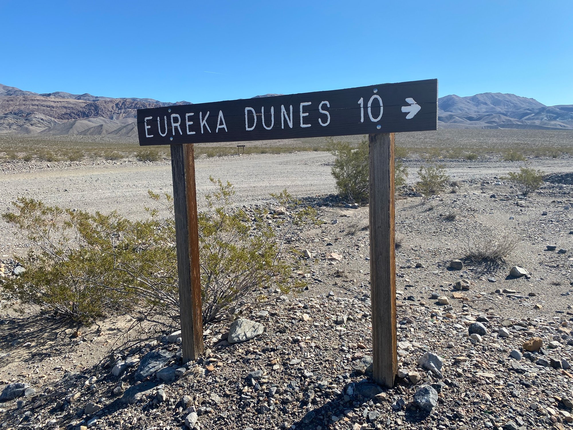
Turn right on S Eureka Rd (4-wheel only road) and drive 10 miles to the Eureka Dunes dry Camp. This bone-rattling gravel road has extensive washboards and limits travel to 5-10 mph. Slow down and save your tires, as you do not want a flat here!
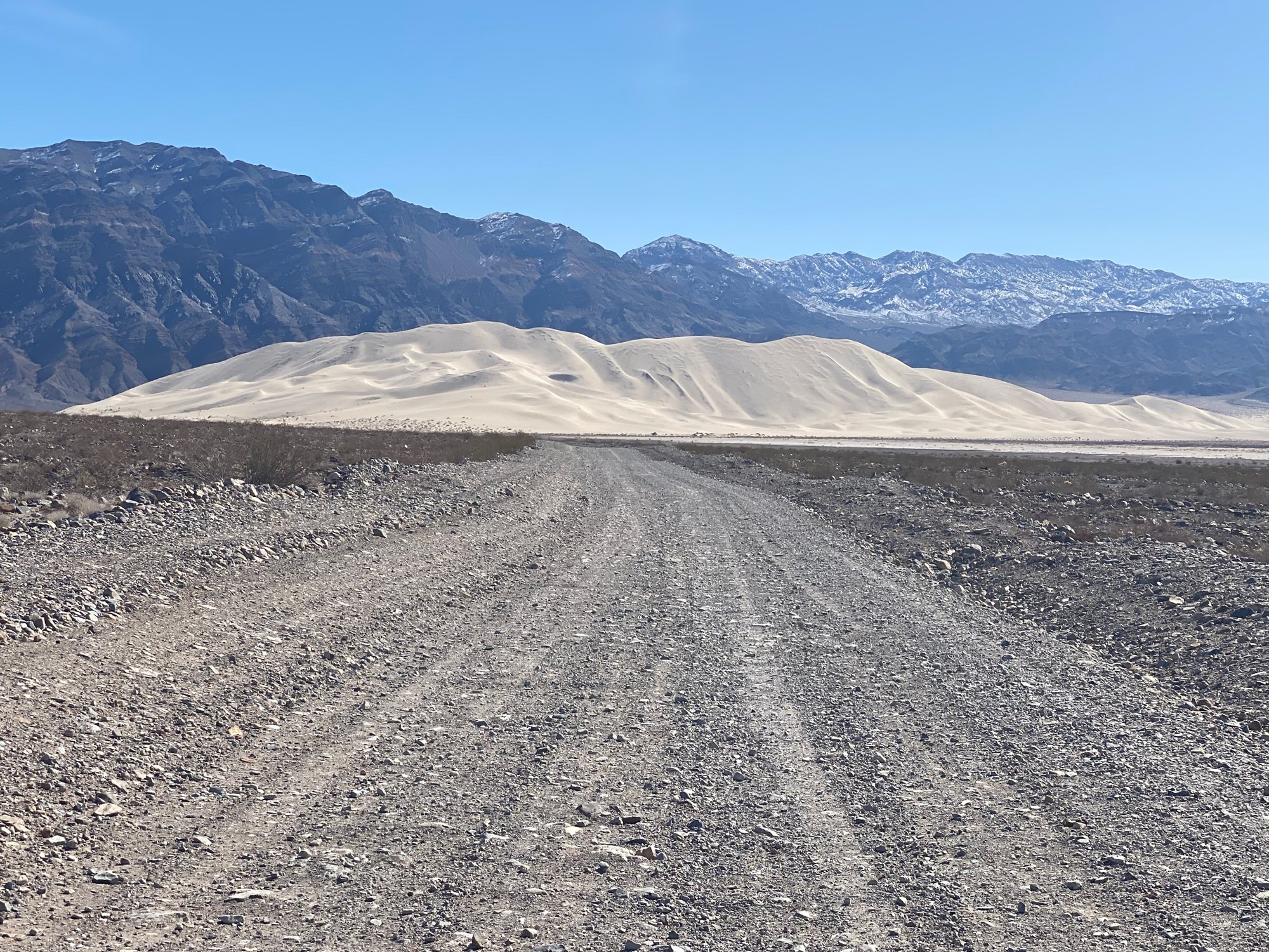
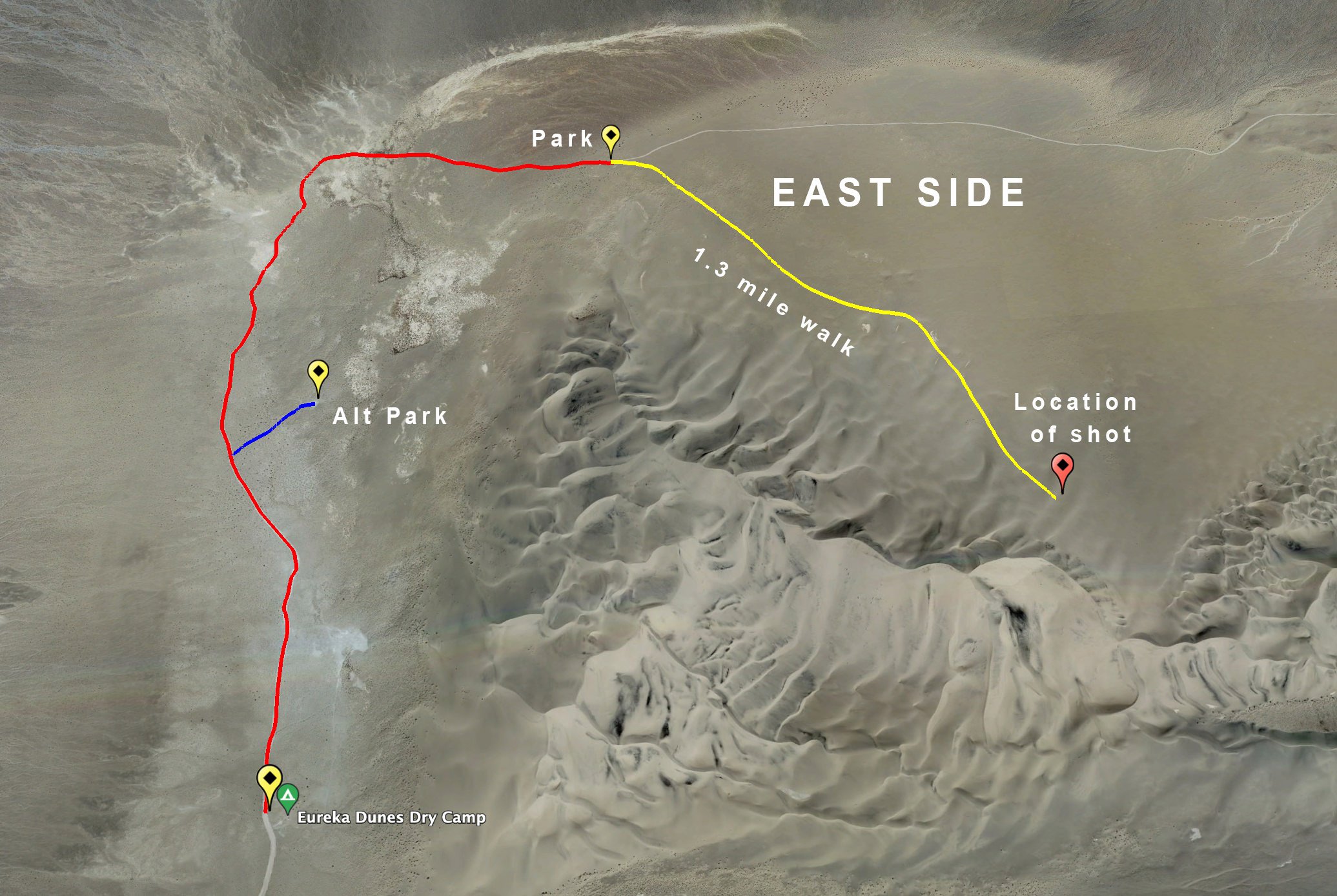
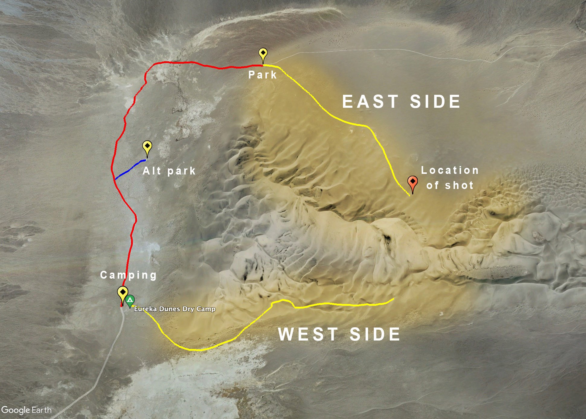
To get to the location of the shot, you can park at a few places and hike to the specific spot. Shown below is a birds-eye view of the EAST SIDE of the Eureka Dunes (where the shot was taken). The road (if you can call it that) driving from the dry camp area can be sanding, and toward the end, will have sporadic lava rocks on the road. Drive as far as you fill comfortable, and then you will have to hike the rest of the way. From the PARK area shown below, the walk is approximately 1.3 miles. You are mainly walking on firm sand. The closer you get to the dunes, the more difficult it is to hike.
IMPORTANT: the roads in Death Valley are subject to closure from weather, floods, and washouts. The drive to Eureka Dunes is long and timely, so before starting to the dunes - check the Death Valley NPS website for road closures or alerts.
You can shoot Eureka Dunes from either the east side or the west. Both have excellent photographic opportunities.
Photography Tips
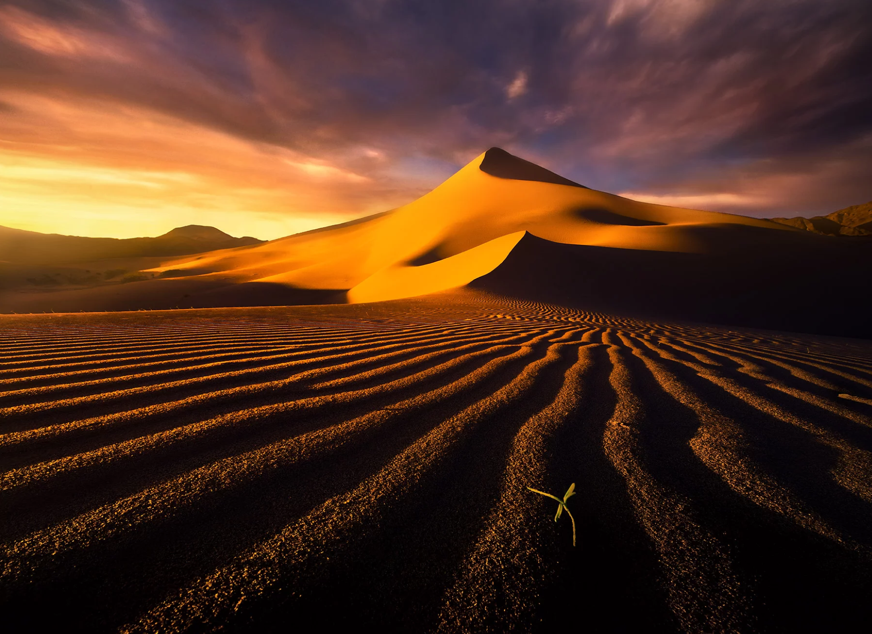
For me, shooting the dunes is about curves, lines, dimensions, contrast, shapes, and shadows. You are often looking for an abstract in the middle of the obvious. For this shot, I wanted to show the contrast of colors, shapes, and dimensions of the area. I searched and found this location the day before and marked it with my GPS so I could return pre-dawn for the sunrise. There are many, many great shots to be had at Eureka Dunes! However, you HAVE TO WORK IT!
Eureka dunes can be photographed on either the EAST SIDE (see map below) or the WEST SIDE. Both sides can produce excellent images - you need to work the area to find the composition you are looking for. Regardless of your choice, you must venture back about 1 to 1 1/2 miles from the camping/park area.
EAST SIDE - you can take a road from the camping area for about 2 miles or so, where you can park and hike. As mentioned above, this road is sandy and, toward the end, has some lava rocks on the road. Drive as far as you are comfortable. You will need to hike between 1 and 2 miles from the dirt road to get to interesting dunes.
WEST SIDE - you can only access the WEST SIDE by walking from the camping area. This can be a challenging walk, as the sand is soft and the dunes can be steep. The sun will set in the west, so the WEST SIDE will be more contrasty in the late afternoon.
This shot above was taken in January on the EAST SIDE when the sun rose from the back left. This location works for sunset, as the sun sets to the back right in the winter months.
EXIF Data
Focal Length – 70 mm
Exposure – 1/5 th sec @ f 8.0
ISO – 50
Date – Jan 21st
Time – 6:56 am
Other Images From This Location
Best Time of Day to Shoot
Sunrise is a great time to shoot Eureka Dunes. However, most photographers shoot the dunes late in the afternoon—late afternoon to sunset—as the soft light, and harsh shadows can make for a great composition. Note: The sun will go behind (set) the mountain range to the west about 30 minutes before the stated sunset. The shot above was taken pre-dawn, just before sunrise.
Best Time of Year
I only shoot Death Valley in the late fall, winter, and early spring, as the summers are unbearable. The shot above was taken in January.
Lens(es) Needed
Lens(es) Needed
If possible, I would bring lenses/zoom that ranges from ultra-wide to telephoto. The compositions are endless on these dunes. The above shot was taken with a 24mm lens.
Birds-Eye View
Permits
Mesquite Dunes are in Death Valley National Park and an entrance fee (good for 7 days) is required $35 (which can be purchased at the visitors’ center). Once in the park, there are no other permits required.
Direction of the Shot
The direction of the shot above is southwest @ 224°.
Equipment Needed
In addition to a tripod, a hat, and sunscreen, I suggest bringing a GPS to mark the campsite and your path for easy return. It is easy to get lost or disoriented in these vast dunes.
The hike from one end to the other can be up to 6-8 miles in the desert, so MAKE SURE you bring plenty of Gatorade/water and snacks. This area is also prone to violent windstorms that can happen without much warning.
Number of Other Photographers to Expect
As mentioned, it is rare to see more than 2-3 other tourists/photographers at Eureka Dunes at one time. This is good and bad. It’s good if you like to be alone and bad if you get in trouble.
Weather
As mentioned, I do not go to Death Valley in the summer, as the temperatures are unbearable. In the winter, the days are modest and the nights can dip into the 20s.
Cell Service
I use Verizon, and there is NO cell service anywhere near Eureka Dunes. The closest cell service is when you are approaching the main highway at Big Pine, CA, or when you get to the Furnace Creek area.
Lodging & Camping
The closest towns with lodging are Big Pine, CA (2 hours, 50 miles west) or Furnace Creek, CA (2 hours, 45 minutes, 95 miles east and south).
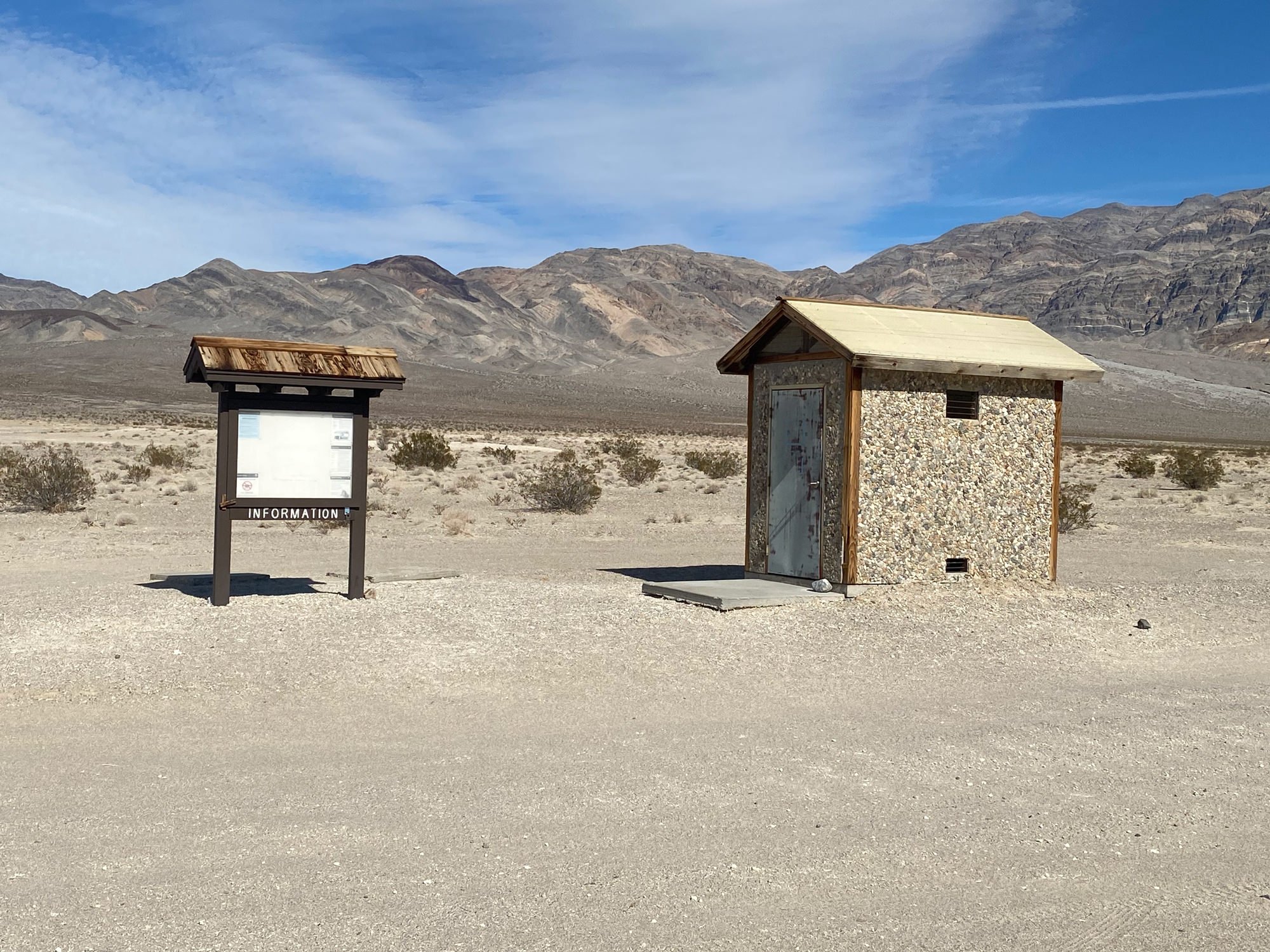
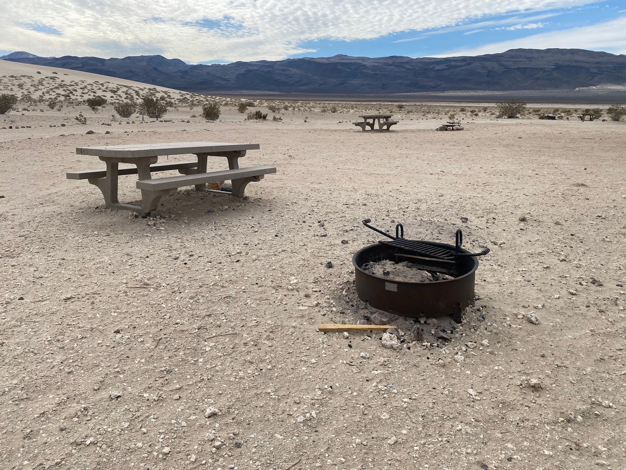
There are primitive dry campsites in Eureka Dunes. These are without water resources, hookups, or flushing toilets. The campsites only provide picnic tables and fire pits.
Nearby Restaurants
The closest towns with restaurants are Big Pine, CA (2 hours, 50 miles west) or Furnace Creek, CA (2 hours, 45 minutes, 95 miles east and south). There are NO RESOURCES in or around Eureka Dunes!
Area Guides and Workshops
A GREAT resource for photographing Eureka Dunes (and all things sand dunes) is the “How to Photograph Sand Dunes of the American Southwest” written by Rob Strain. This 188-page e-book provides great information on planning your trip to the dunes, composition, safety, checklist for equipment, post-processing and maps to Eureka Dunes and 11 other sands dunes in the US.
A must-have when shooting dunes. ..


