
Lake Manly
Death Valley NP
Lake Manly
A BRIEF SUMMARY OF LAKE MANLY
Beauty can be found almost anywhere if you know where and when to look. This magical place covers the lowest point in North America and reveals itself only when Death Valley receives substantial rain near Badwater Basin.
In the past 25 years, Lake Manly has formed only three times: in 2005, 2024, and again in 2025. This rare phenomenon creates an exceptional photographic opportunity, with mirror-like reflections that provide stunning views during sunrise, sunset, or even of the Milky Way for fortunate photographers in Death Valley at that time.
Images and location summary by Tim Wier

Annual Subscription
Lifetime Membership
DATA POINTS INCLUDED WITH LAKE MANLY SUMMARY
I would rate the difficulty of this trail as a 2 on a scale of 1 to 5, with 5 being the most difficult. The hike to this location is between 1/2 and 1 mile from the parking area, depending on the route you choose, and it features little to no elevation gain. However, walking in the water might create some challenges.
Experiencing Lake Manly (Badwater Basin) during this rare phenomenon can truly enhance the creative aspects of landscape photography, offering unique opportunities at different times and locations.
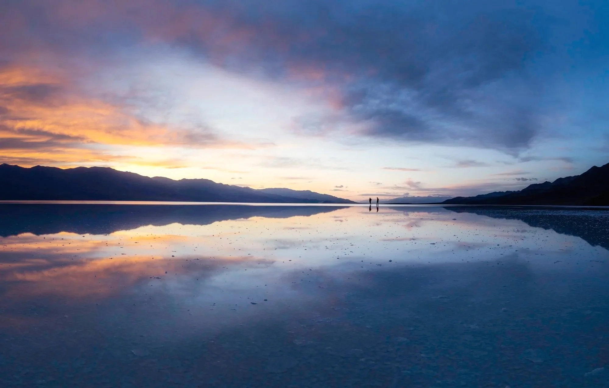
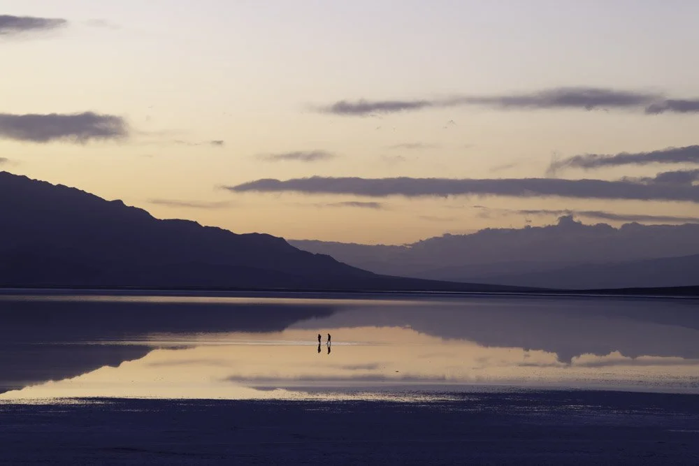
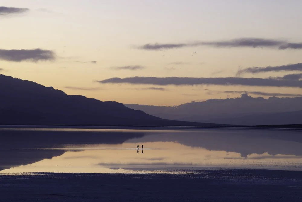
The shot at the top of the page was captured around sunset, featuring two people strolling about. I waited a few minutes until they positioned themselves in this opening, and the beautiful sky added an extra touch of magic to the scene. The images below were taken about 25 minutes later, after I had walked back to the road to set up my camera. When I saw the stunning scene, I quickly grabbed my camera again and increased the ISO to prevent any camera shake while capturing it.
Again, being at Lake Manly can provide some GREAT photographic opportunities.
Depending on your composition, you will want to bring either a wide-angle or ultra-wide-angle lens. Keep in mind that if you are at Badwater Basin and there is water present, it can be very challenging to change lenses in your camera bag.
The image above was captured using a 24mm lens in a 5-shot vertical panorama, which has been cropped.
-280 Ft. Elevation
Other Resources Available with Membership
KMZ Trail File
Directions
Best Time of Day to Shoot
Best Time of Year to Shoot
Equipment Needed
Permits Required
Direction of Shot
Google Maps Birds-Eye-View
Number of Photographers to Expect
Cell Service
Overnight Lodging/Camping
Nearby Restaurants
Area Guides and Workshops
Other Resources
LOCATION SUMMARIES WRITTEN BY PROFESSIONAL PHOTOGRAPHERS


