
Hot Creek Geological Site

Near Mammoth Lakes, CA
HOT CREEK GEOLOGICAL SITE
A BRIEF SUMMARY OF HOT CREEK GEOLOGICAL SITE
Hot Creek Geological Site is a wonderful set of natural springs found near Mammoth Lake, CA. This location (sometimes called Brees Lookout) provides an impressive view of a winding creek, boiling hot springs, and a spectacular view of the Sierra Nevadas in the distance.
This unusual place is popular for trout fishing, swimming, and sitting in the hot springs. But for a photographer, under the right conditions - this location provides a great opportunity to capture a stunning representation of the southwest in all its glory.
Location summary written by Tim Wier. Above Image by Joshua Snow

Annual Subscription
Lifetime Membership
DATA POINTS INCLUDED WITH HOT CREEK GEOLOGICAL SITE SUMMARY
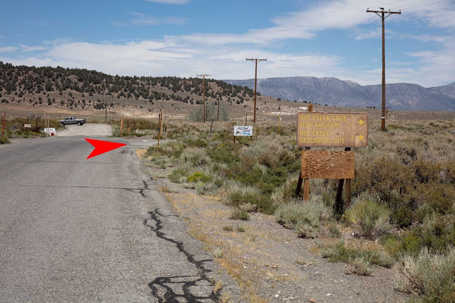
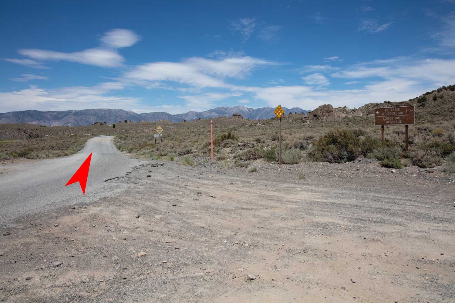
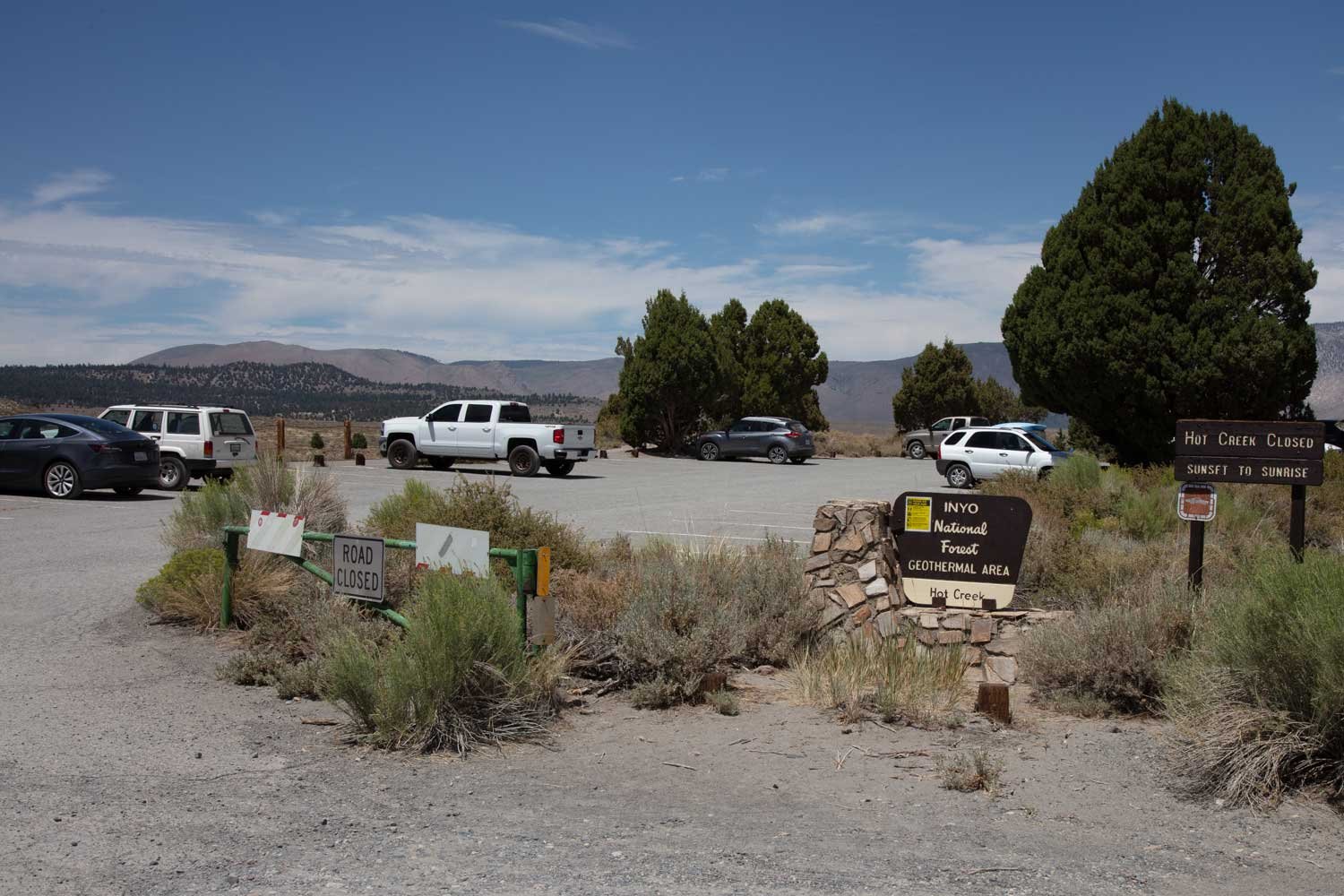
I would rate the difficulty of this trail as 2.5 on a scale of 1-5 (with 5 being most difficult). The hike from the parking lot for the Hot Creek Site is a moderate 300 yards or so. Depending on the location you choose to shoot from, the trail terrain can be a little dicey. The road from HWY 395 to the Hot Creek Site is a bit bumpy, but most vehicles can easily handle it by slowing down.
This shot is fairly straightforward. Most people will shoot from either on top of the ridge or venture down the ridge closer to the creek. There are tons of compositions - depending on where you stand. The natural composition is horizontal, but there are several fences around the creek and hot springs that need to be accounted for. You can eliminate the fences by shooting vertical.
On cool/cold mornings, the steam from the creek and hot spring will be prominent and add …
This is primarily a medium wide-angle shot. Depending on your composition, the focal lengths range from 24-50mm.
The images above were taken at 40mm and a 14mm/30mm focal blend.
7,065 Ft. Elevation
Other Resources Available with Membership
KMZ Trail File
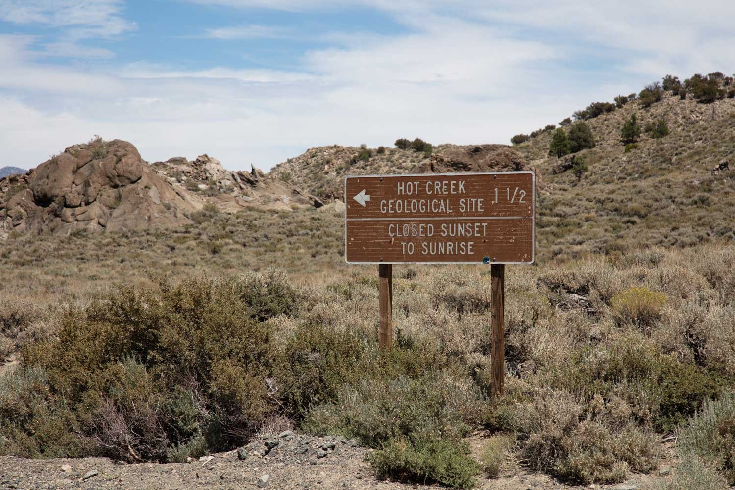
Directions
Best Time of Day to Shoot
Best Time of Year to Shoot
Equipment Needed
Permits Required
Direction of Shot
Google Maps Birds-Eye-View
Number of Photographers to Expect
Cell Service
Overnight Lodging/Camping
Nearby Restaurants
Area Guides and Workshops
Other Resources
LOCATION SUMMARIES WRITTEN BY PROFESSIONAL PHOTOGRAPHERS


