
Bandon Beach

Central Oregon Coast
BANDON BEACH
A BRIEF SUMMARY OF BANDON BEACH
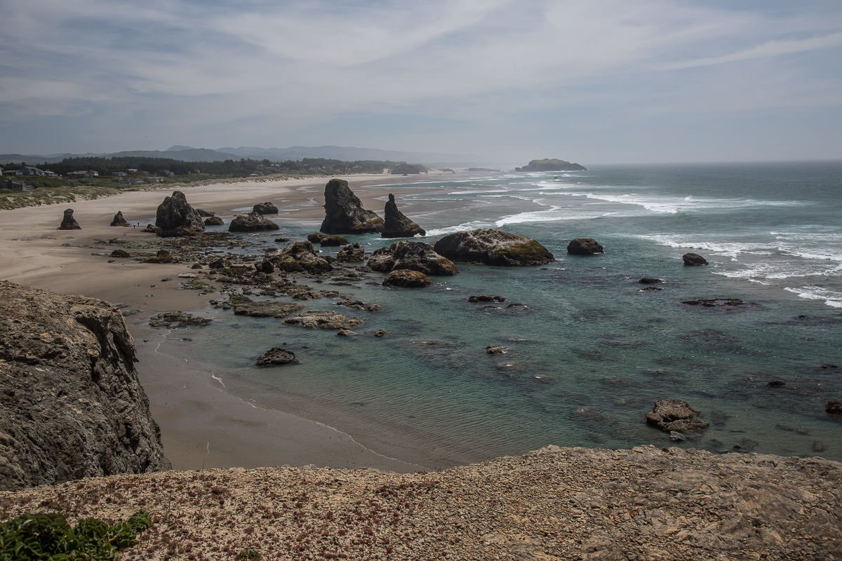
Bandon Beach is probably the most popular beach on the Oregon Coast for photography. The beach is easy to access and enjoys some wonderfully shaped sea stacks. You could easily spend several hours to several days walking up and down the beach finding unique coastal compositions.
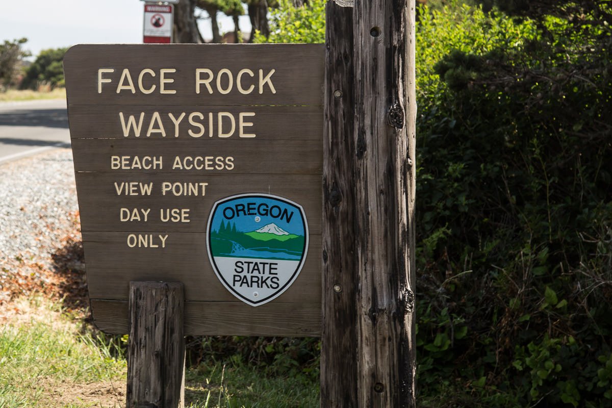
The main area for photography is a 1-mile stretch just south of the Face Rock State Scenic Viewpoint. There are several great sea stack shapes, with Merlin’s hat and Face Rock being the most famous. Weather conditions on the southern Oregon Coast are unpredictable, so you sometimes have to wait for the perfect sunset. But when it happens, it is simply amazing!
Image by Mark Brodkin
Annual Subscription
Lifetime Membership
DATA POINTS INCLUDED WITH BANDON BEACH SUMMARY
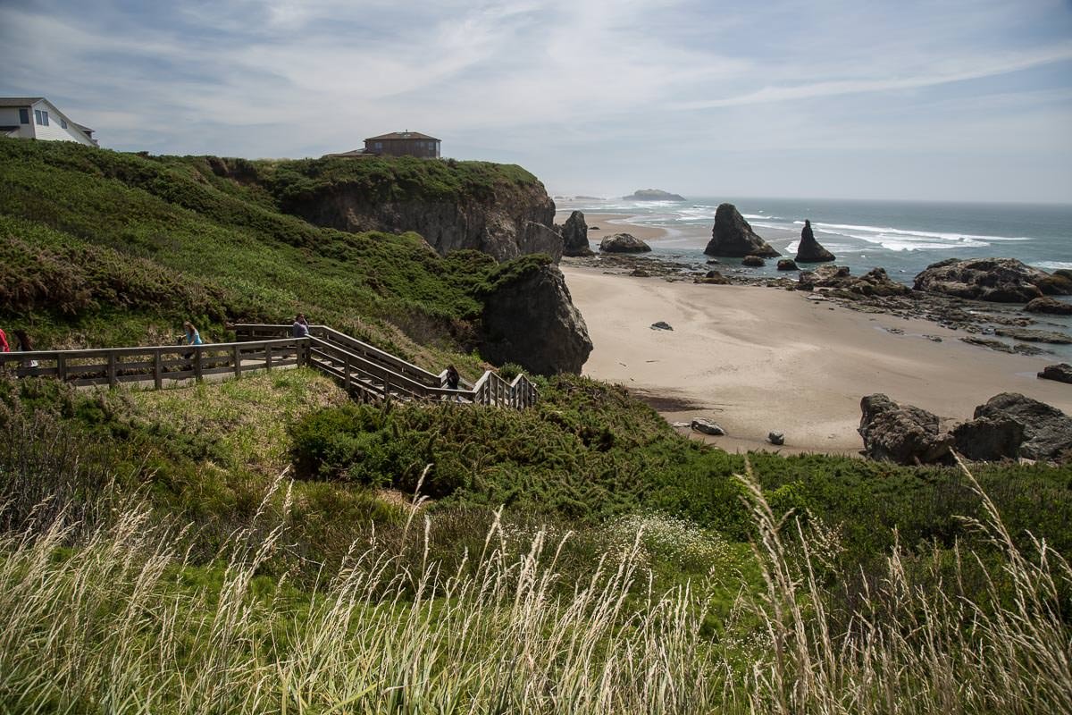
I would rate the difficulty of this trail as a 2 on a scale of 1-5 (with 5 being most difficult). The hike down to Bandon Beach is simple, but you have to walk down 50-75 stair steps. The primary beach for photography runs for about 1 mile. Unless it is high tide, it is easy to walk up and down without many concerns.
I usually wear my waders as I don’t like wet socks, but you can easily go barefoot or wear sandals, shoes, or hiking boots.
Photography on Bandon Beach is all about the rock formations/sea stacks (Merlin’s hat and Face Rock are the most famous), the ocean, and the light. Many shots are made with longer exposures to create the silky effect of the flow of the ocean using the sea stacks.
I would suggest scouting the area before evening/sunset to find the composition that is best for you.
The above shot was taken with a 24mm lens. Depending on the composition you are looking for, you can use anything from a 16mm to a 85mm lens.
sea level Ft. Elevation
Other Resources Available with Membership
KMZ Trail File
Directions
Best Time of Day to Shoot
Best Time of Year to Shoot
Equipment Needed
Permits Required
Direction of Shot
Google Maps Birds-Eye-View
Number of Photographers to Expect
Cell Service
Overnight Lodging/Camping
Nearby Restaurants
Area Guides and Workshops
Other Resources
LOCATION SUMMARIES WRITTEN BY PROFESSIONAL PHOTOGRAPHERS


