
Tres Amigos

TRES AMIGOS
Bisti Badlands, Northwest New Mexico
Image by Rob Strain @ www.robstrain.com
The Bisti Badlands offer some of the most unusual scenery in the American Southwest. This completely unworldly place was once a coastal swamp of an inland sea and is a unique place for both hikers and photographers. If you are a photographer, try to give yourself several days to explore and photograph the endless abstracts, hoodoos, desert spires, arches, and amazing formations.
I like to make-believe things are happening in many of my photos and there is nowhere better to play pretend than at the badlands of New Mexico. I called this image Tres Amigos because I saw it as three friends wearing sombreros and joining the party going on in the background.
Photo and assistance with location summary by Rob Strain.
Trail Difficulty - MODERATE
I would rate the difficulty of the trail to this specific location as a 2-3 on a scale of 1-5 (with 5 being most difficult). The hike to this location is a fairly straightforward 2.2-mile walk with no real elevation gain. However, you are walking through the badlands with no discernible trails and it is easy to get lost and heat in the warmer months can be strenuous.
Avoid hiking into Bisti Badlands following any appreciable rain as the clay becomes very slippery, injury is possible and your footprints/foot slides will ruin your pictures the following days. Expect mud in the bottom of the many small washes for several days after rain or winter snowmelt.
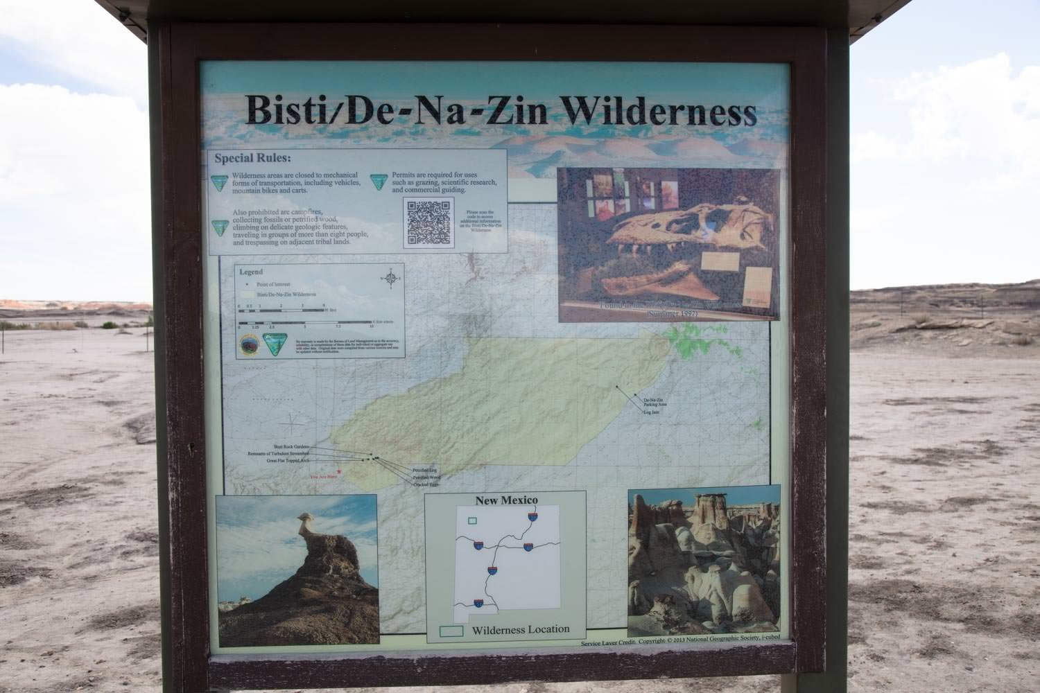
PLEASE NOTE: there are no amenities whatsoever while hiking in the Bisti Badlands (there is a primitive restroom near the parking area). Come prepared to be completely on your own. In the summer, the temperature can be very hot and there’s no shade for miles around. Make sure you have a headcover and enough fluids and snacks for your time out hiking.
GPS Coordinates & Elevation
5,825 Ft. Elevation
Google Earth
Download KMZ Trail File
Click Here to download the KMZ file for this location.
Directions
CLICK HERE to get driving directions to the Bisti Badlands parking area
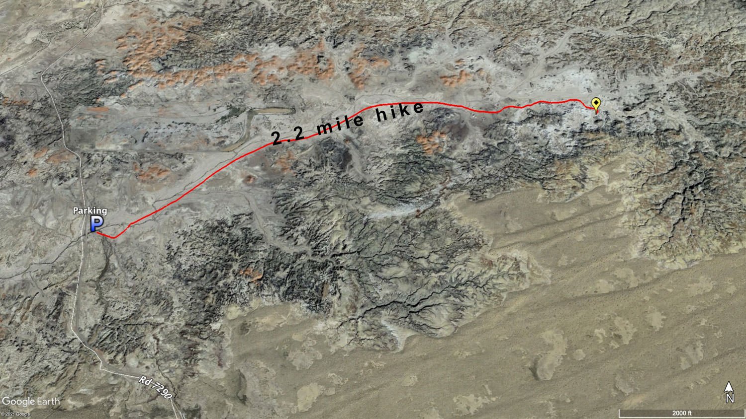
From Farmington - drive south on NM-371 S for 36.1 mi and look for a sign for Bisti Badlands. Turn left and travel 1.9 miles on a gravel road until you come to a “T” in the road. Turn left and drive another 1 mile until you see the BLM Bisti Badlands parking area.
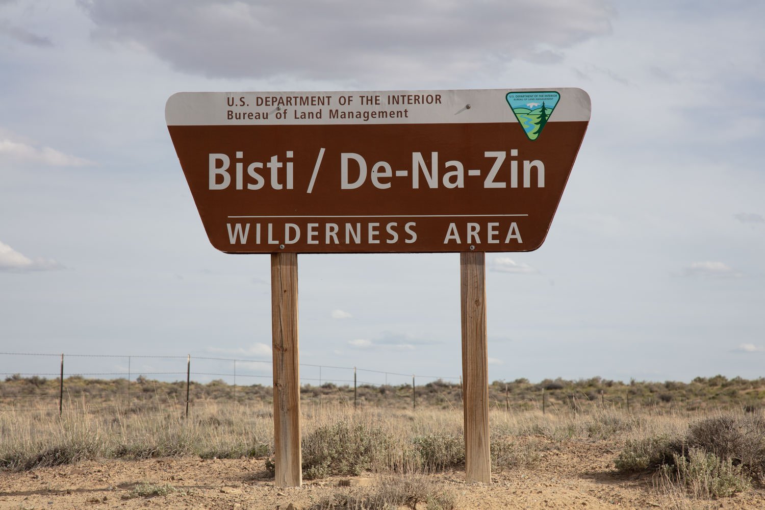
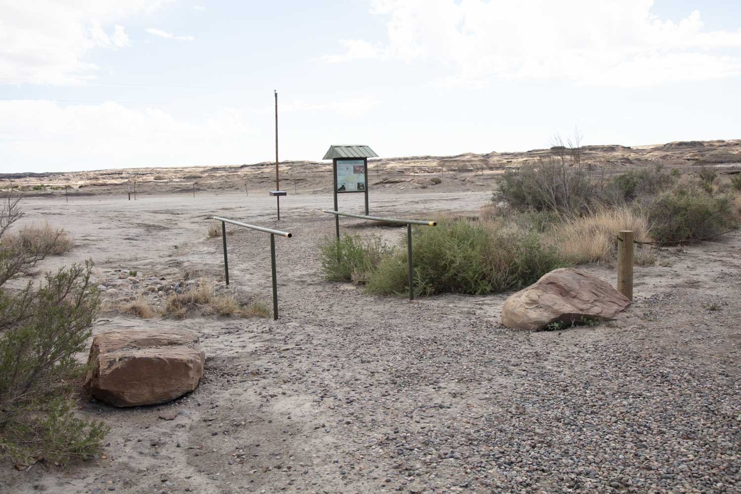
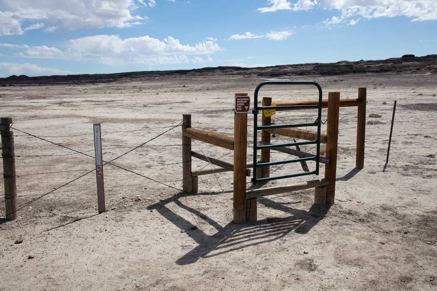
From the parking lot, walk east toward the Bisti wilderness - passing the wilderness sign and cross through the fence guard.
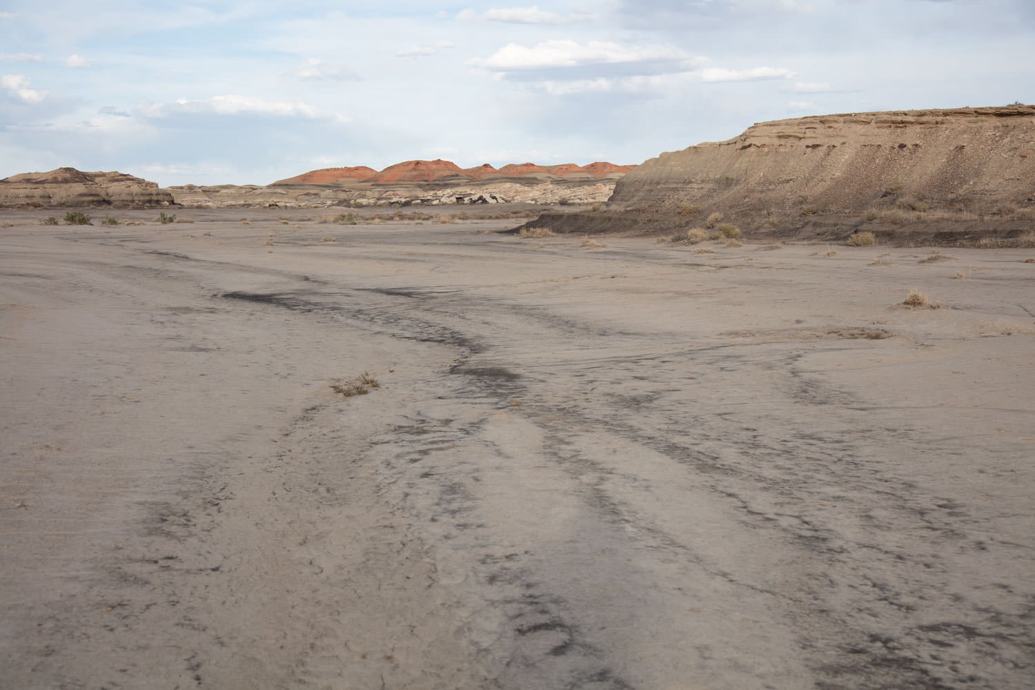
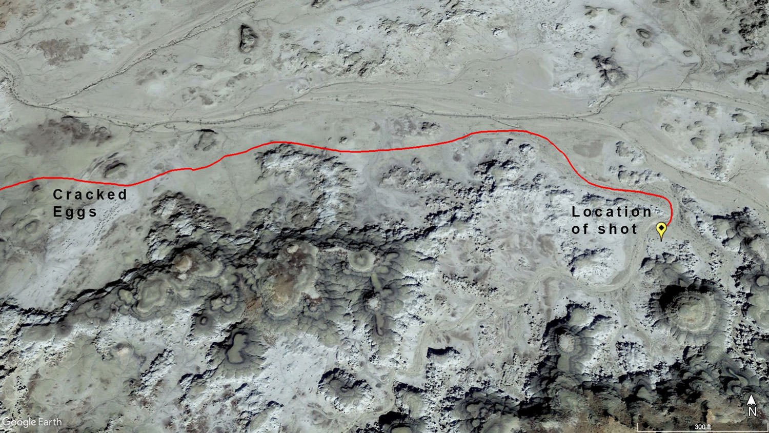
From the fence, guard walk east by northeast for about 2.1 miles (keeping the mounds and hills to your right) roughly following the WASH. On your hike, you will cross back-and-forth over the WASH several times and will pass the “Cracked Eggs” and “Petrified Forest” on your right. After you have hiked about 2.1 miles, you will turn south by southeast into an opening to what I call “Hoodoo City” and walk for about 200 yds. The shot will be east-facing at 36°16'02.0"N 108°13'06.3"W.
Without knowing the GPS coordinates, you could wander/search for hours trying to find the exact spot. I would strongly suggest downloading this KMZ file to Tres Amigos and using a GPS / hiking app on your smartphone and plot the hike. The Bisti Badlands is a place you can easily get lost as there are no paths or trails and by following the GPS tracks closely you can minimize the number of wash crossings.
If you ever get lost, find the small WASH and hike west. This will take you back to the parking area.
Photography Tips
I had been out the evening before to the same area where I took this shot but ended up half a mile away to shoot the iconic wings area for sunset. This helped me know a bit where I was going in the dark the next morning. Still, I thought I might shoot the nearby “eggs”, but arriving early gave me time to explore a bit further. The result was that there were so many interesting scenes in the next cove that I never got back to the eggs. This shot was at a pretty wide angle, and shooting at f/14 allowed me to avoid focus bracketing in favor of exposure bracketing. The image shown is just one of those exposures, however. In this case, it paid off to scout with the camera off the tripod, since the scene looks much different when standing over it.
EXIF Data
Focal Length – 16 mm
Exposure – 10th sec @ f 8.0
ISO – 100
Date – May 16 th
Time – 7:07 am
Best Time of Day to Shoot
The best time to shoot Bisti Badlands is during the “Blue Hour”, or at sunrise or sunset. During Blue Hour the tones are more subtle and muted - and just come out so nice.
The problem with trying to shoot in the morning (at or before sunrise) is the time you have to scout scenes is limited. If you have never been to Bisti before and you plan on shooting in the morning, I would suggest arriving the day before and scout for your composition.
The image above was taken at sunrise.
Best Time of Year
The Bisti Badlands can be photographed any time of year.
I have visited the Bisti Badlands during each season and I much prefer spring and fall as the temperatures are modest and the crowds are small. The elevation almost 6,000 ft ASL, so the winter can be downright cold and the summer can be overpowering during the day (remember, there are no trees or other shade in the Badlands).
The above image was taken on May 13th
Lens(es) Needed
There are countless compositions in the Bisti Badlands and I would recommend bringing lenses that range from 16mm-100mm.
The above image was taken 16mm
Birds-Eye View From Google Earth Pro
Permits
The Bisti Badlands is on BLM (Bureau of Land Management) land and of this writing (July 2019) there were no permits required.
Direction of the Shot
The direction of the shot is northwest around 120°.
Equipment Needed
Other than a tripod, there is no need for any special photography equipment.
As mentioned, the hike to this location is a pretty easy 2.2-mile walk with no real elevation gain. However, the Badlands are EXTREMELY remote, with no trails and you can easily get lost. I would STRONGLY suggest bringing a GPS, hiking app, or at least a compass to make sure you can find your way back. Also, there is no shade whatsoever, so make sure you have enough fluids and snacks for your time out hiking.
Number of Other Photographers to Expect
The Bisti Badlands are remote, but you will see several visitors in the area on most days. The location of this shot is way off the beaten path and it would be rare to see others at this location.
Weather
The area around the Bisti Badlands is a high desert climate at about 6,500 ft. elevation. The temperatures can vary up to 30° - 40° a day. Spring and fall are nice, but summer can get into the high 90s.
Cell Service
I have Verizon and the cell service from this location is spotty. A stronger cell signal is available as you drive toward Farmington, NM.
Overnight Camping Options
The Bisti Badlands is very remote and the closest town is Farmington, NM (42 miles). There are many hotels there, but none anywhere near the Badlands.
As mentioned, the Bisti Badlands is BLM (Bureau of Land Management) land and I believe you can camp there. However, there are no designated campsites nearby.
Nearby Restaurants
The closest town is Farmington, NM (42 miles). Farmington is a moderate-sized town with plenty of eating establishments. If you like traditional Mexican food, try Francisca’s. It is a small local restaurant and serves up some good grub.
Nearby Restaurants - click on the restaurant below for yelp review
Francisca’s
(505) 324-9095
1000 N Butler Ave, Farmington, NM
InfiniteBBQ
(505) 793-0319
1801 N Sullivan Ave, Farmington, NM
The Chile Pod
(505) 258-4585
121 W Main St, Farmington, NM
Area Guides and Workshops
None