House On Fire
HOUSE ON FIRE
Southeast Utah
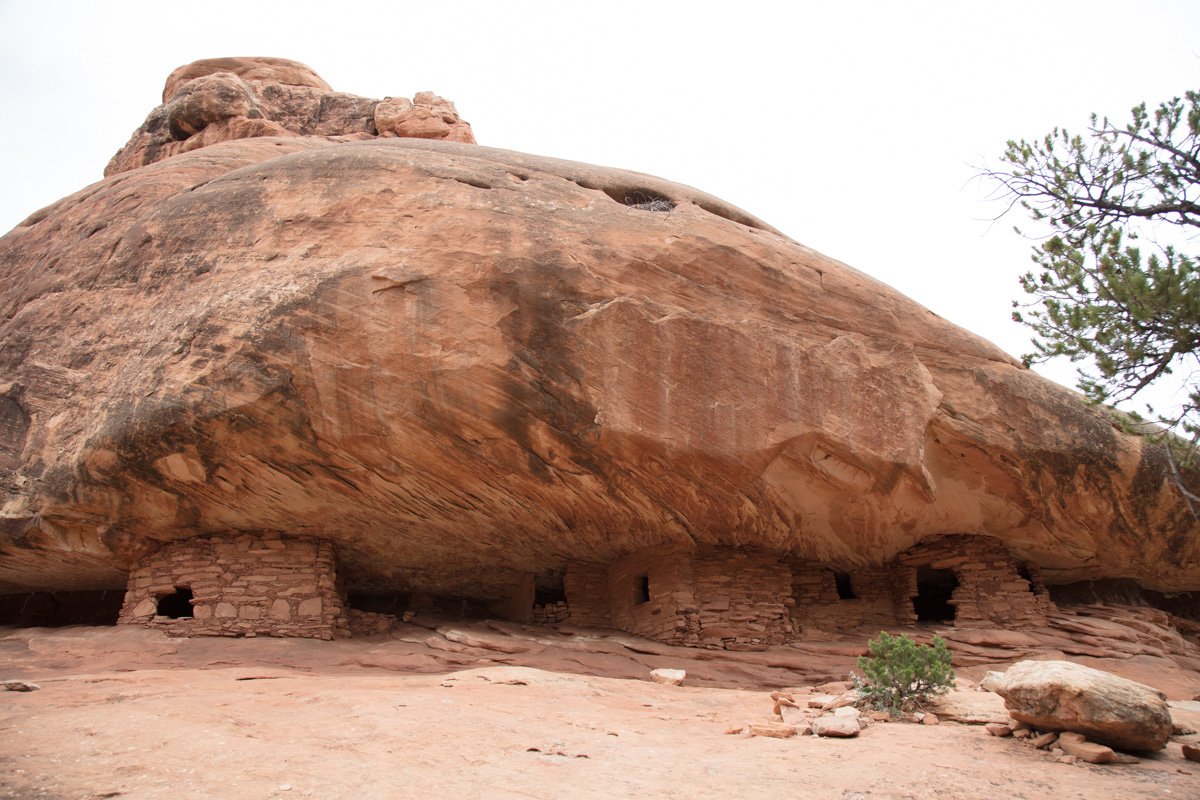
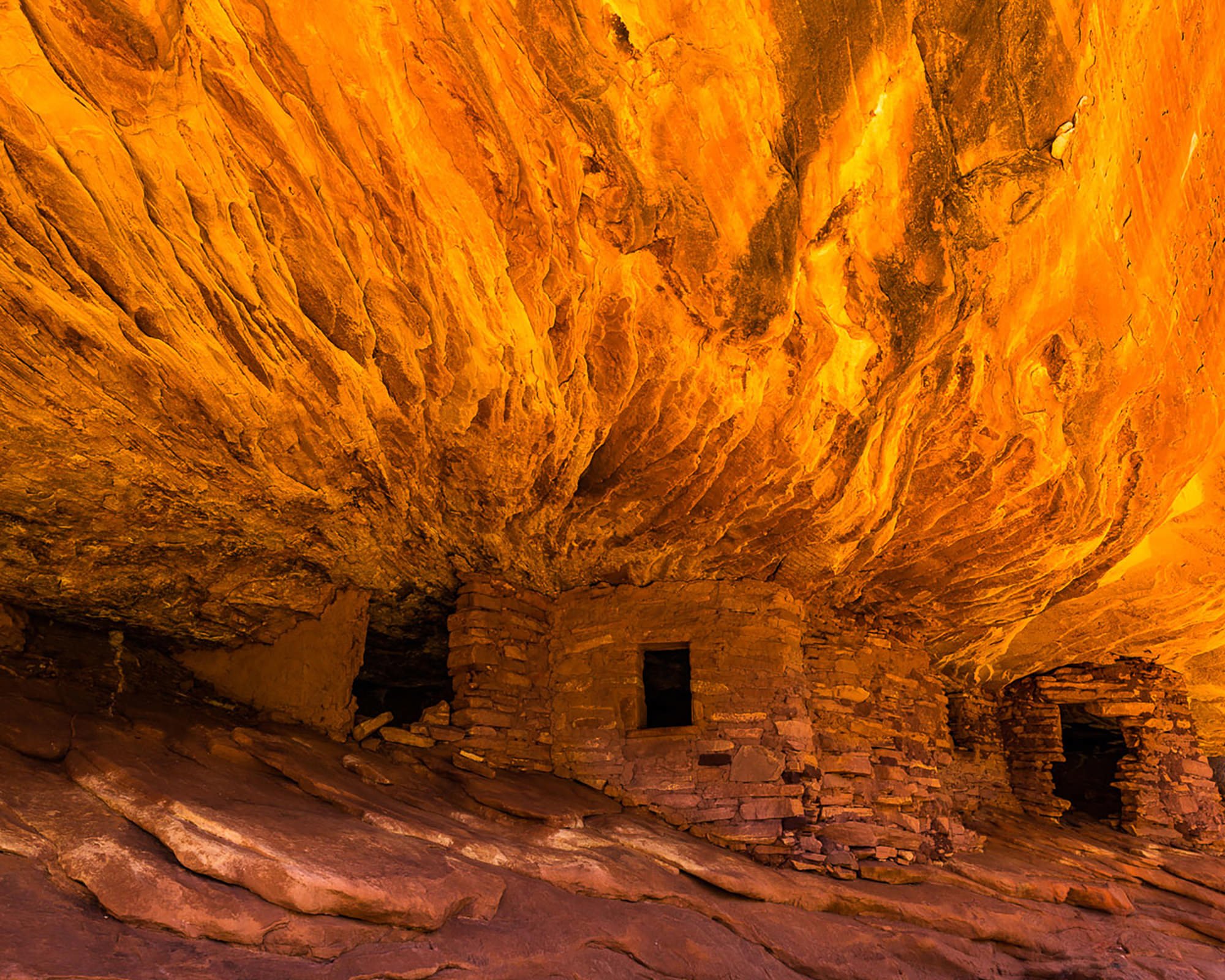
House On Fire is located in the South Fork of Mule Canyon, about 25 miles west of the little town Blanding, UT. This location is named House On Fire because under the right conditions it appears there is a roaring fire coming out of the roof of a small grouping of Anasazi houses (ruins). This phenomenon happens only during mid mornings on a clear day as the sun is reflected from the adjacent ridge onto the roof of the alcove containing these ancient cliff dwellings.
It is amazing to experience this distinctive optical illusion—and this location provides a great opportunity to capture a unique and intriguing image found only in the great American Southwest.
Images and location summary by Tim Wier
Trail Difficulty - MODERATE
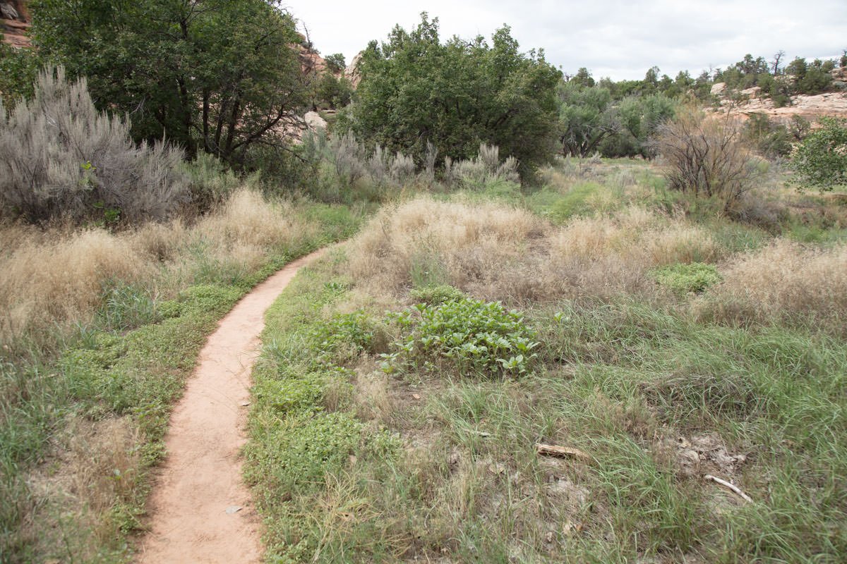
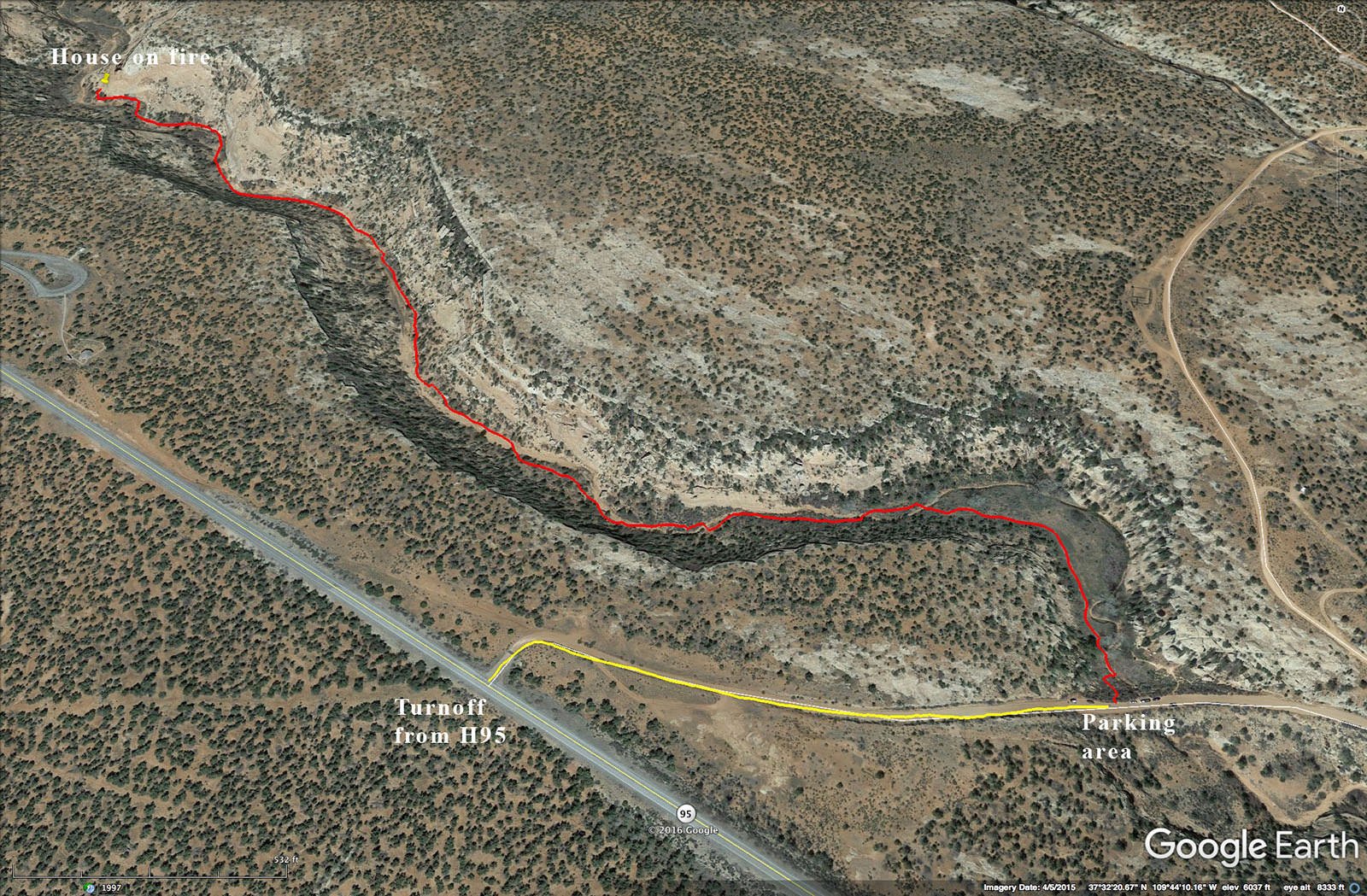
I would rate the difficulty of this trail as a 2.5 on a scale of 1-5 (with 5 being most difficult). The narrow but fairly well traveled trail is 1 mile from the trailhead parking area, with only slight elevation gain. The trail has a few places with slight up and down hills and crosses the small creek a few times.
GPS Coordinates & Elevation
5,990 ft Elevation
Google Earth
Download KMZ Trail File
Click Here to download the KMZ file for this location.
Directions
CLICK HERE to get driving directions to the House on Fire Parking area.
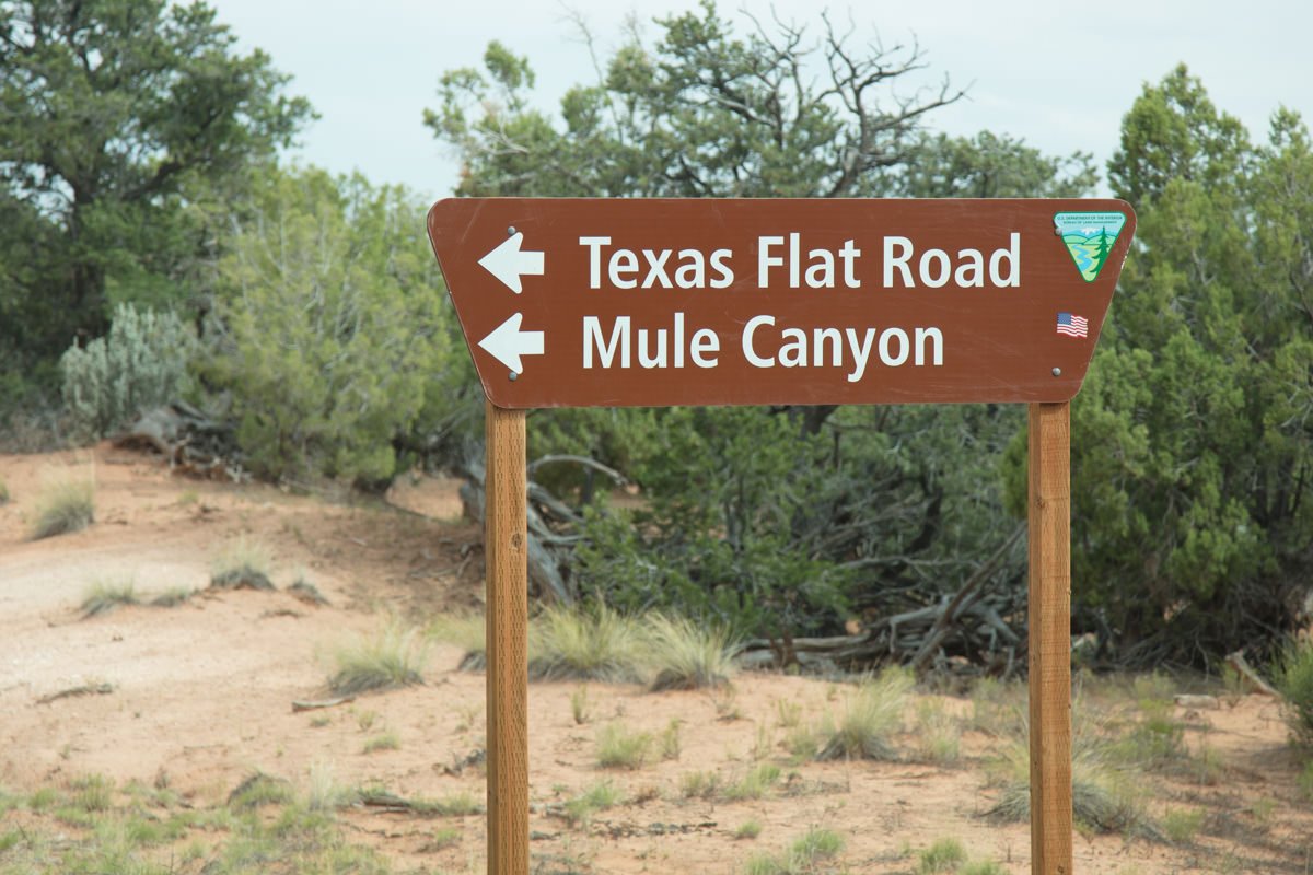
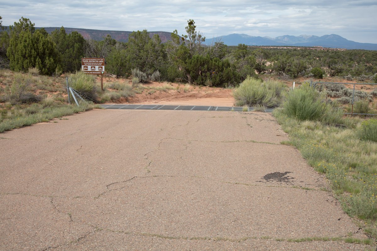
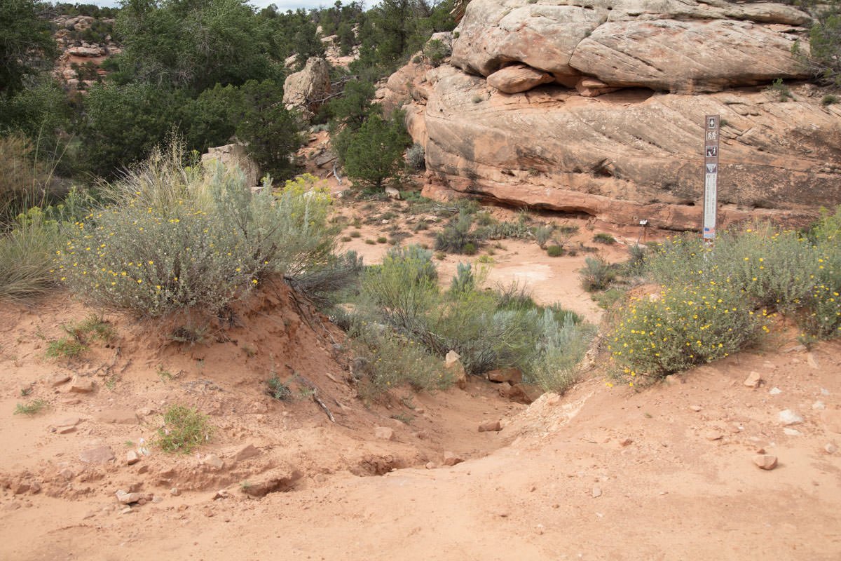
The closest community is Blanding, UT. From Blanding, drive south on US 191 for 3.5 miles and turn right (west) on UT 95. Drive on UT 95 for 19.4 miles (just past the mile marker 102) and you will see a dirt entry on your right (CR 263 / Texas Flat Road). Drive on the dirt road for 0.3 mile and you will see a pullout on the right and left of the Mule Canyon.
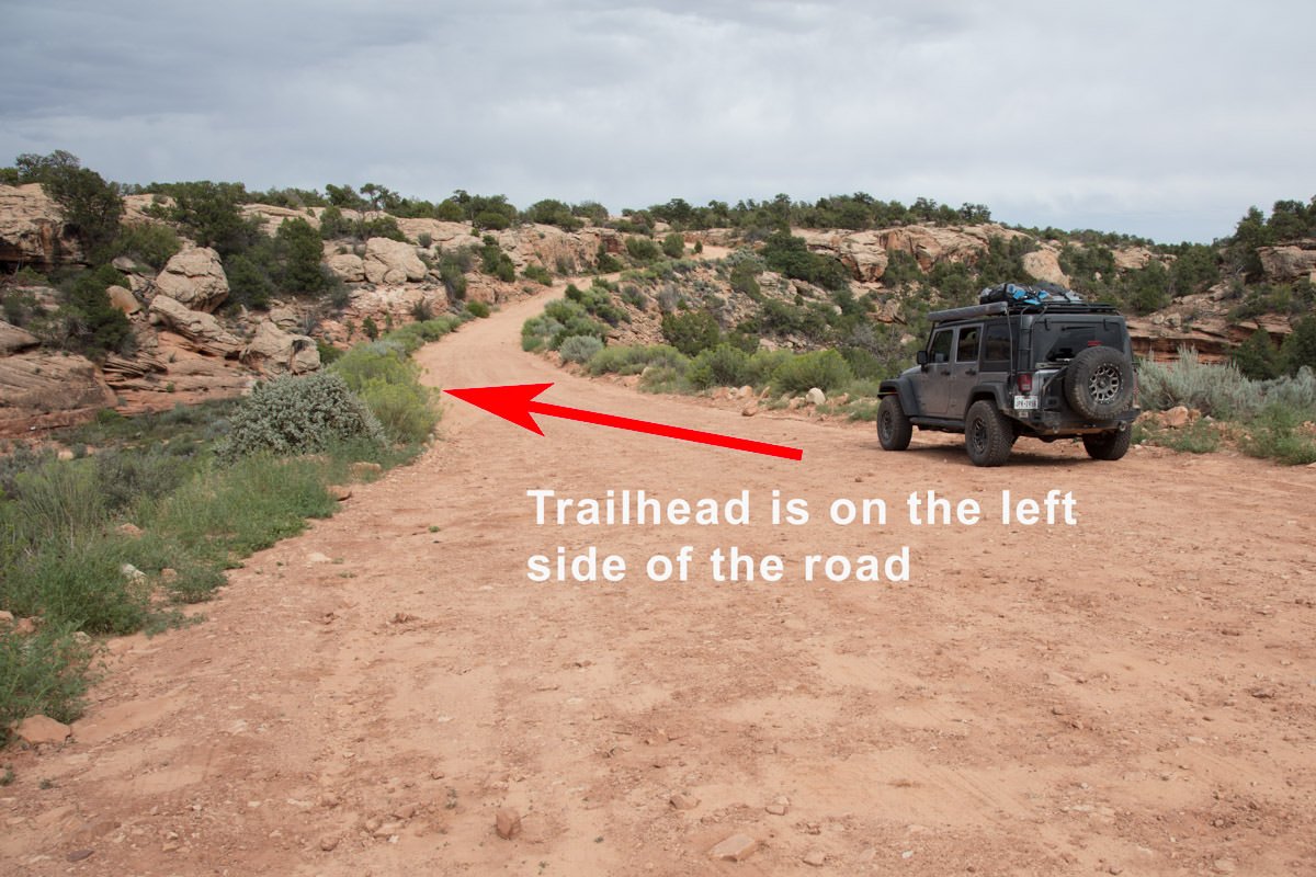
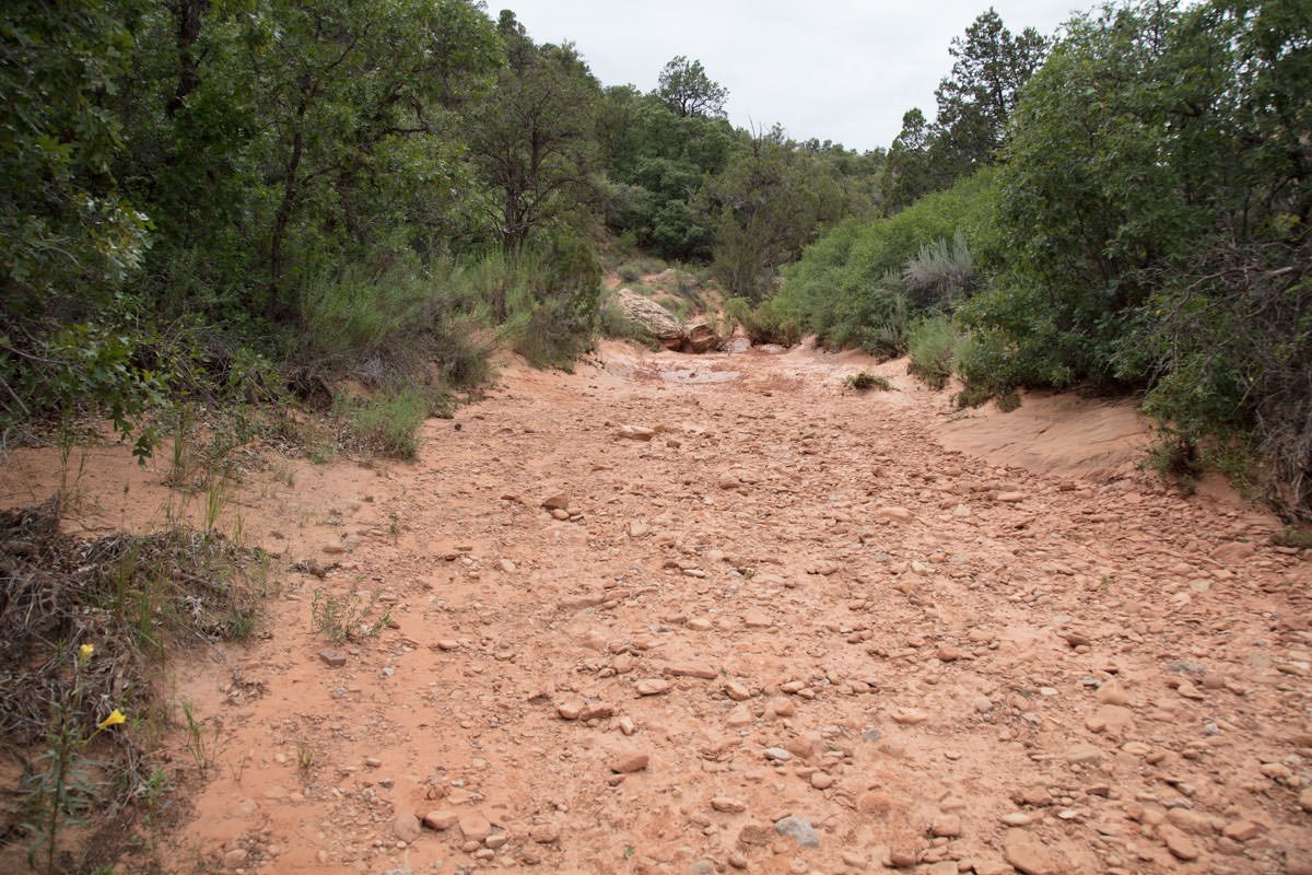
At the pullout, look for the trail on the left (north side). If you have a GPS, mark your spot to know how far to walk, as well as for your return. The hike to the House on Fire is 1 mile from the trailhead. The walk is in a ravine/wash and follows a well-defined trail that crosses the little creek a few times.
The House on Fire is easy to miss if you are not paying attention. It is a small grouping of ruins set in an alcove on the right side of the ravine, up the wall about 30ft. above the creek bed.
Photography Tips
This shot is all about the illusionary red/orange flames coming out of the set of ruins (house). I find the best shot is to get low and up close and use a wide-angle lens, which provides an added distortion. This shot is not as easy as you would think. Arrive early and try out many angles until you find the right composition.f
EXIF Data
Focal Length – 20 mm
Exposure – 20th sec @ f 8.0
ISO – 100
Date – Sept 6th
Time – 10:15 am
Other Images From This Location
Best Time of Day to Shoot
This shot is only good in the morning on a sunny day, before the sun passes above the ruins. Once this happens, the shot is totally blown out and the flaming roof phenomenon/illusion is gone until the next sunny day. The time of the year/angle of the sun dictates when the sun will blow out the shot. In the winter months, the run rises almost perpendicular to the canyon, which means the shot is blown out around 11am. The rest of year, the shot is good until around noon.
Best Time of Year
The shot is good all year round. The early morning sun reflecting off of the adjacent wall of the ravine causes the flaming roof phenomenon/illusion. Once the sun gets too high toward the west, the shot is blown out.
Lens(es) Needed
Most photographs will use a wide angle to ultra wide lens. The shot above was taken with a 24mm lens.
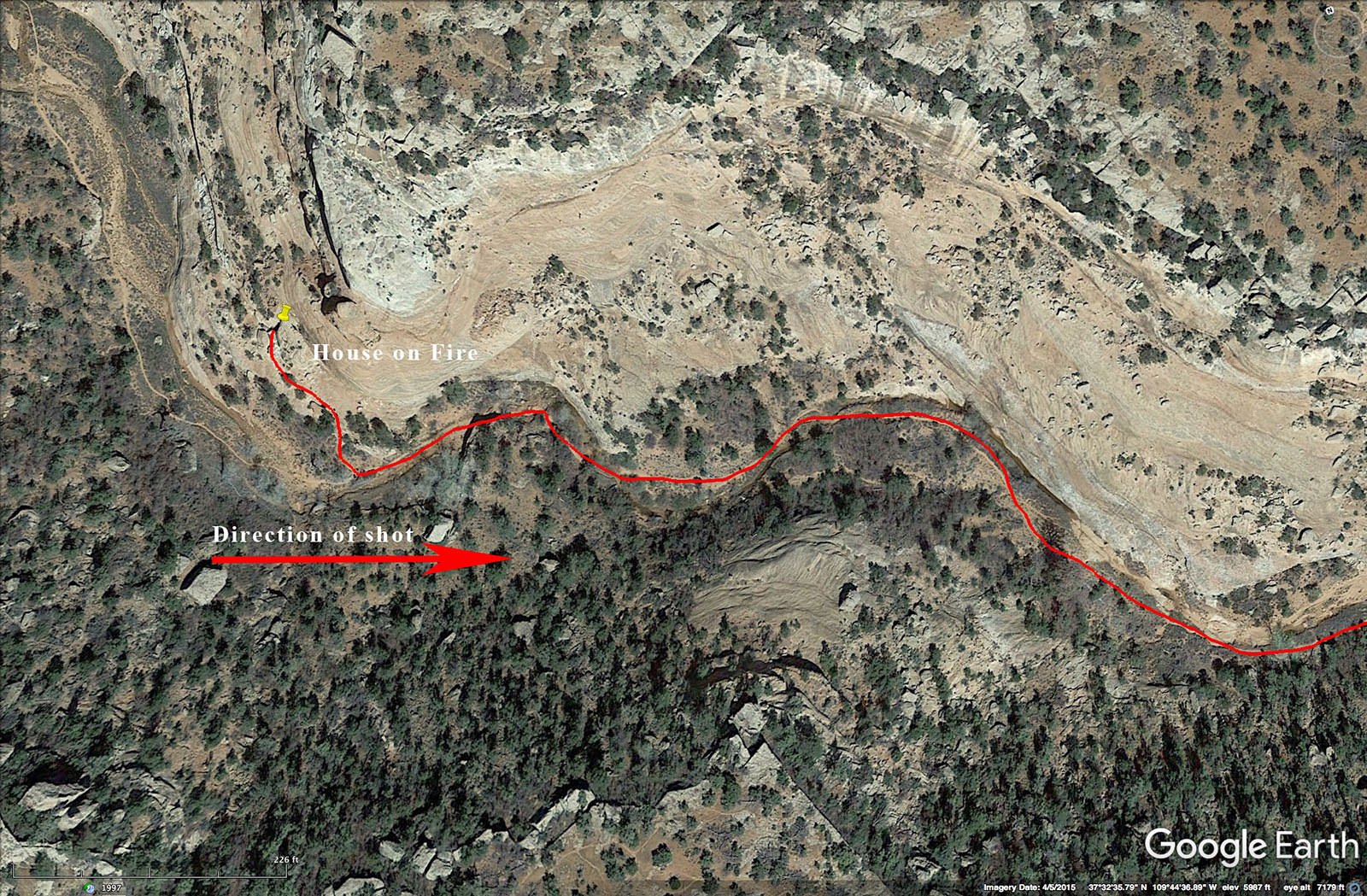
Birds-Eye View From Google Earth Pro
Permits
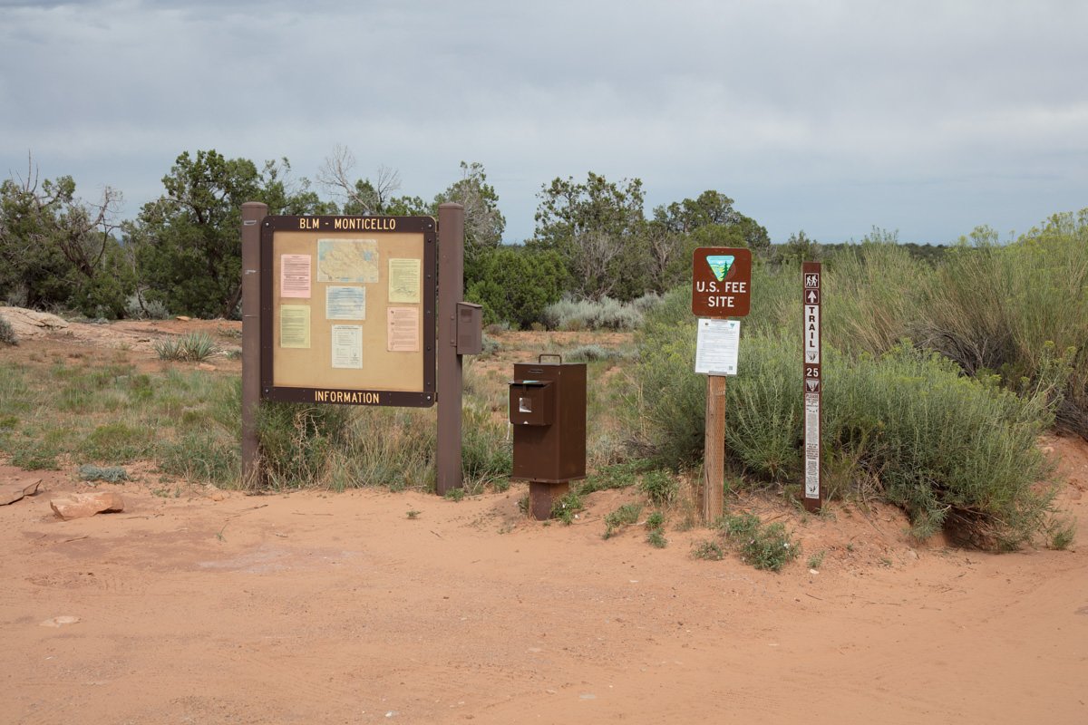
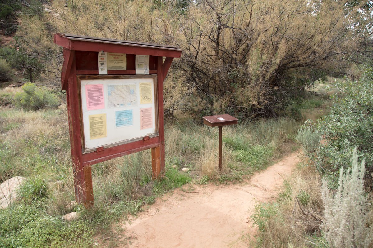
A back country permit is required ($2 per person) paid at kiosk by the dirt road entrance off of UT 95.
Direction of the Shot
The direction of the shot is east around 105°.
Equipment Needed
No special equipment is needed. Since you will be shooting outside during the day, unless you will be blending images or HDR you don’t really need a tripod.
Number of Other Photographers to Expect
The Mule Creek Canyon has 5 sets of ruins on the trail, so you will see several groups of hikers on most days. However, most hikers just look at the ruins for a few minutes and move on. The area in front of the House On Fire is pretty spacious, but the “sweet spot” to capture the perfect shot is very small and can handle only 1 or 2 photographers at a time.
Weather
The South Fork of Mule Canyon is in an arid area of southern Utah, but the elevation is almost 6,000 feet. Temperatures here are modest most of the year, but it does get below freezing in the winter. Caution: The location (South Fork of Mule Canyon) is in a wash and is prone to flash floods when it rains.
Cell Service
I use Verizon, and there is NO cell service on the hike to House on Fire. There is limited cell service once you get back to road (UT95) and stronger cell service once you get to Banding, UT.
Overnight Camping Options
The closest town to The House On Fire is Blanding, UT (24 miles east and then north). Blanding is a small community with only 3 or 4 hotels. The nearest camping is Blue Mountain Trading Post just south of Blanding. It is a nice facility with good folks running it.
Nearby camping and lodging
Camping - click on the campground below for directions
Blue Mountain Trading Post (22 miles east)
Lodging - click on the lodging below for a TripAdvisor review
Stone Lizard Lodging
(435) 678-3323
88 W Center St, Blanding, UT
Super 8 Blanding
(435) 678-3880
755 S Main St, Blanding, UT
Four Corners Inn
(435) 678-3257
131 E Center St, Blanding, UT
Nearby Restaurants
As mentioned, the closest town is Blanding, UT (24 miles east and then north). Blanding is a small community and there are just a few eating establishments.
Nearby Restaurants - click on the restaurant below for yelp review
Patio Drive In
(435) 678-2177
95 N Grayson Pkwy, Blanding, UT
Homestead Steak House
(435) 678-3456
121 E Center St, Blanding, UT 84511
Other Photography Opportunities Around
Area Guides and Workshops
None


