
House on Fire

Southeast Utah
HOUSE ON FIRE
A BRIEF SUMMARY OF HOUSE ON FIRE
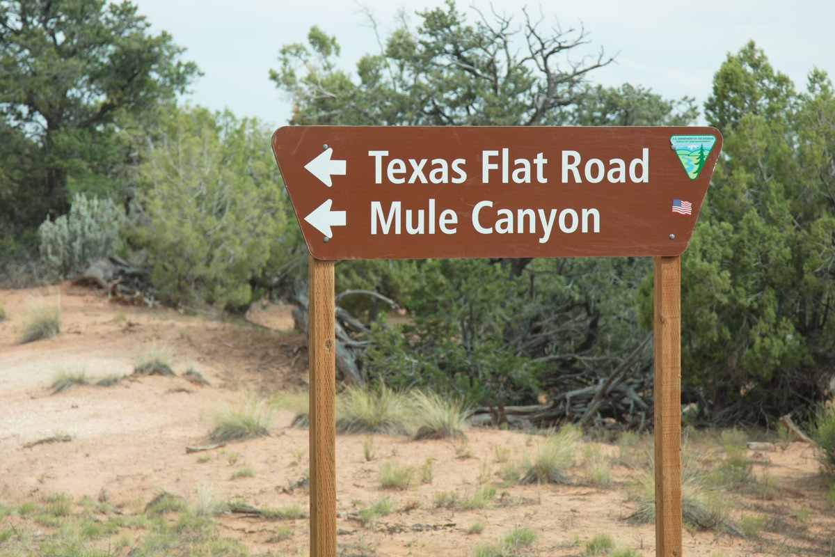
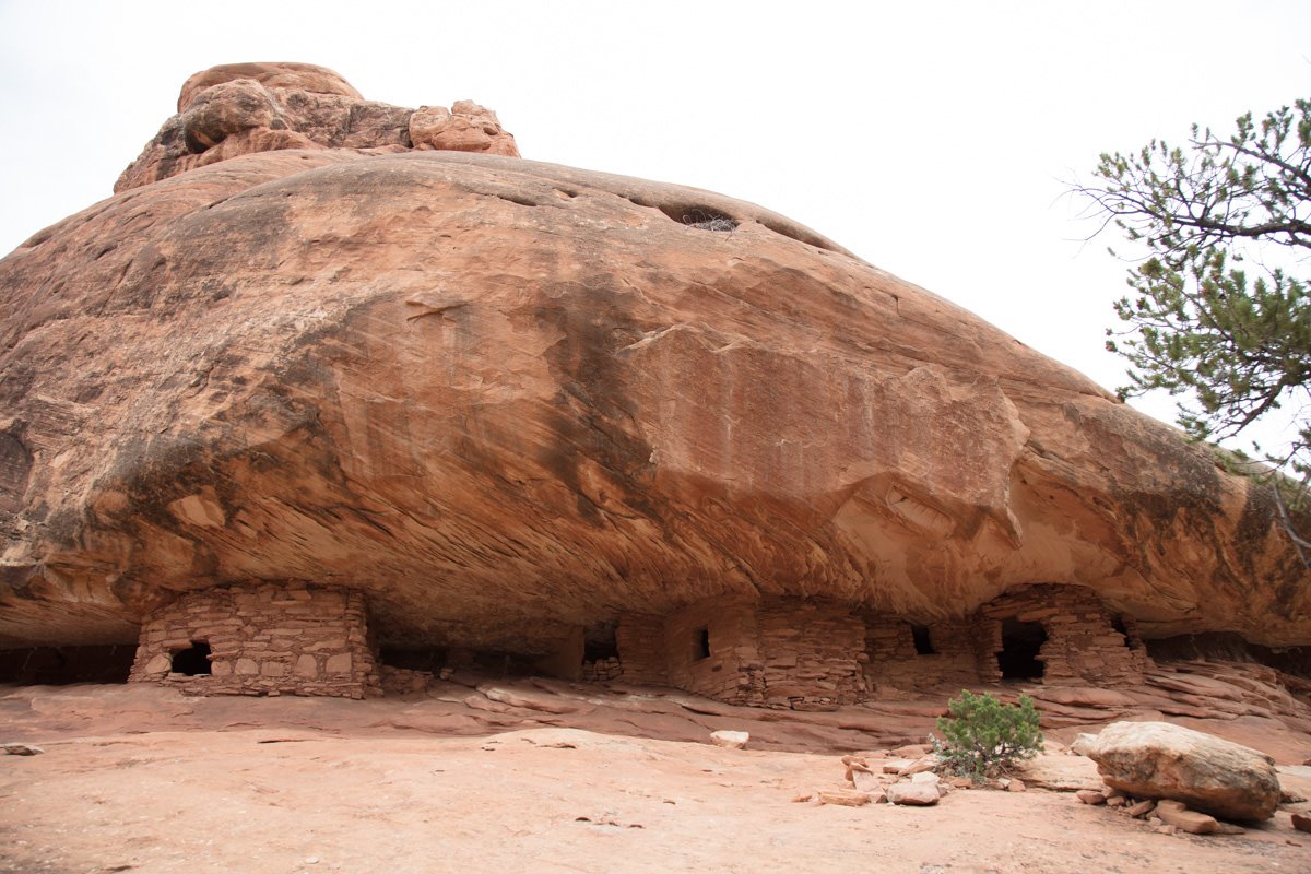
House On Fire is located in the South Fork of Mule Canyon, about 25 miles west of the little town Blanding, UT. This location is named House On Fire because under the right conditions it appears there is a roaring fire coming out of the roof of a small grouping of Anasazi houses (ruins). This phenomenon happens only during mid mornings on a clear day as the sun is reflected from the adjacent ridge onto the roof of the alcove containing these ancient cliff dwellings.
It is amazing to experience this distinctive optical illusion—and this location provides a great opportunity to capture a unique and intriguing image found only in the great American Southwest.
Location summary by Tim Wier

Annual Subscription
Lifetime Membership
DATA POINTS INCLUDED WITH HOUSE ON FIRE SUMMARY
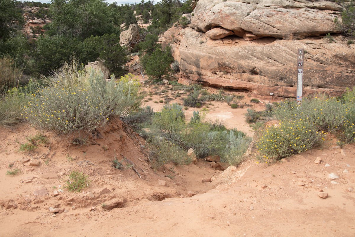
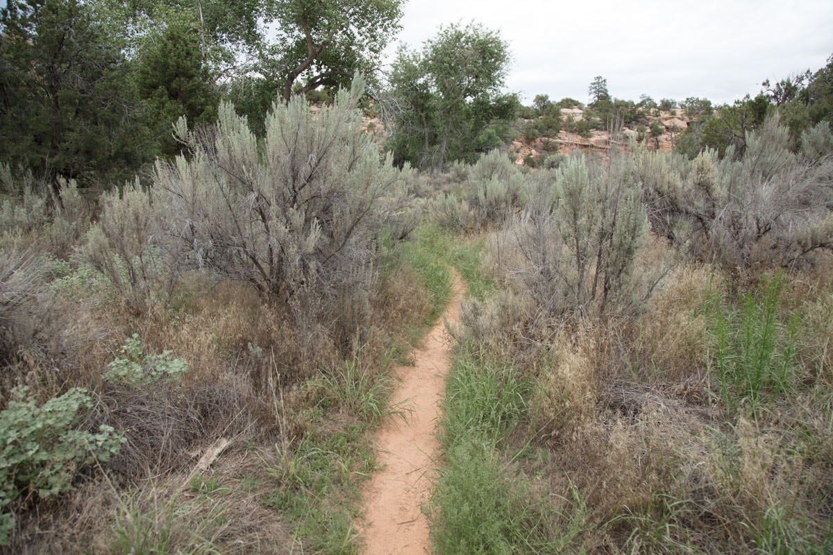
I would rate the difficulty of this trail as a 2.5 on a scale of 1-5 (with 5 being most difficult). The narrow but fairly well traveled trail is 1 mile from the trailhead parking area, with only slight elevation gain. The trail has a few places with slight up and down hills and crosses the small creek a few times.
This shot is all about the illusionary red/orange flames coming out of the set of ruins (house). I find the best shot is to get low and up close and use a wide-angle lens, which provides an added distortion. This shot is not as easy as you would think. Arrive early and try out many angles until you find the right composition …
Most photographs will use a wide angle to ultra wide lens. The shot above was taken with a 24mm lens.
5,990 Ft. Elevation
Other Resources Available with Membership
KMZ Trail File
Directions
Best Time of Day to Shoot
Best Time of Year to Shoot
Equipment Needed
Permits Required
Direction of Shot
Google Maps Birds-Eye-View
Number of Photographers to Expect
Cell Service
Overnight Lodging/Camping
Nearby Restaurants
Area Guides and Workshops
Other Resources
LOCATION SUMMARIES WRITTEN BY PROFESSIONAL PHOTOGRAPHERS


