
Monument Valley

Utah/Arizona Border
MONUMENT VALLEY
A BRIEF SUMMARY OF MONUMENT VALLEY
Monument Valley is one of the truly iconic places to visit and photograph in the American Southwest. The magnificent landscapes are filled with never ending mesas, plateaus, and enormous sandstone monuments (known as buttes). It’s a landscape photographer’s playground.
The most famous monuments in the valley are the mittens (east and west), which you have seen many times in stunning landscape images, movies, and TV shows. The mittens themselves are worth the visit, but there is so much more in this sacred Navajo valley.
The mittens (which stand about 1,000 feet from their base), when viewed from the south, appear to be two gigantic mittens with their thumbs facing inwards. This can make a great photograph for both sunrise and sunset.
This summary is specific to the shot above. I would suggest spending several days in the valley and explore the 5-10 other great photographic opportunities that exist here (both sunrise and sunset).
Images and location summary by Tim Wier

Annual Subscription
Lifetime Membership
DATA POINTS INCLUDED WITH MONUMENT VALLEY SUMMARY
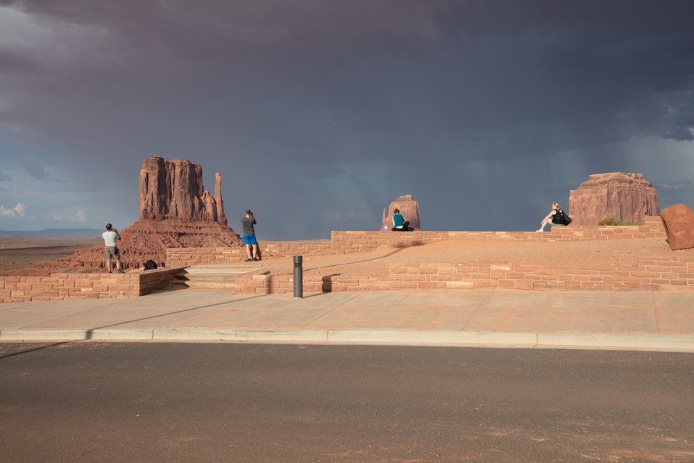
I would rate the difficulty of this trail as a 2 on a scale of 1-5 (with 5 being most difficult). This shot was taken only about 15 feet off the dirt road know as “Valley Drive”, but getting to the location can be challenging (with bumps and more than a few potholes) on the road.
The shot is fairly straightforward. As mentioned, the light from the sunset moves quickly as it makes its way down the mittens. Make sure you have picked your composition and are setup several minutes before sunset.
The shot above was taken with a 50mm lens. You can use a different lens with other compositions.
5,201 Ft. Elevation
Other Resources Available with Membership
KMZ Trail File
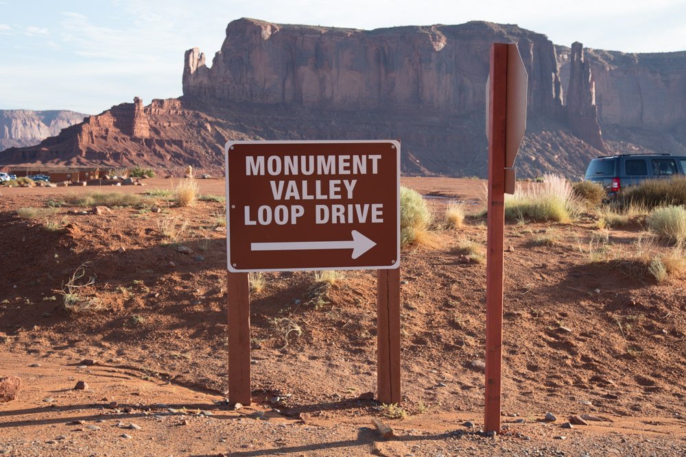
Directions
Best Time of Day to Shoot
Best Time of Year to Shoot
Equipment Needed
Permits Required
Direction of Shot
Google Maps Birds-Eye-View
Number of Photographers to Expect
Cell Service
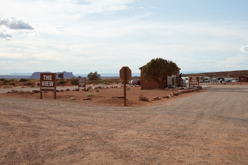
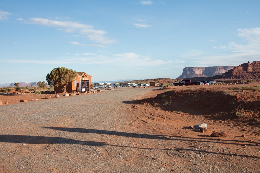
Overnight Lodging/Camping
Nearby Restaurants
Area Guides and Workshops
Other Resources
LOCATION SUMMARIES WRITTEN BY PROFESSIONAL PHOTOGRAPHERS


