
Enchanted Forest

Near Ridgway, CO
ENCHANTED FOREST
A BRIEF SUMMARY OF ENCHANTED FOREST
I call this shot Enchanted Forest – as the spot seemed surreal in the way the Aspen trees invite you into their grove. The morning I took this image - the weather started out perfect, but quickly turned as a fall storm moved in. For just a few moments a thick fog bank rolled in which gave the place a dreamlike appearance. I quickly set up my camera next to my Jeep and was able to take a couple of images before the sky opened up.
This location is found in a large Aspen forest in southwest Colorado on a dirt road connecting Ridgway and the Owl Creek Pass. The spot is just a half mile from of Kate’s Meadow (which was the final shootout scene between Robert Duvall and John Wayne in the original True Grit movie). If you like photographing Aspen trees this road offers tons and tons of opportunities.
Images and location summary by Tim Wier

Annual Subscription
Lifetime Membership
DATA POINTS INCLUDED WITH ENCHANTED FOREST SUMMARY
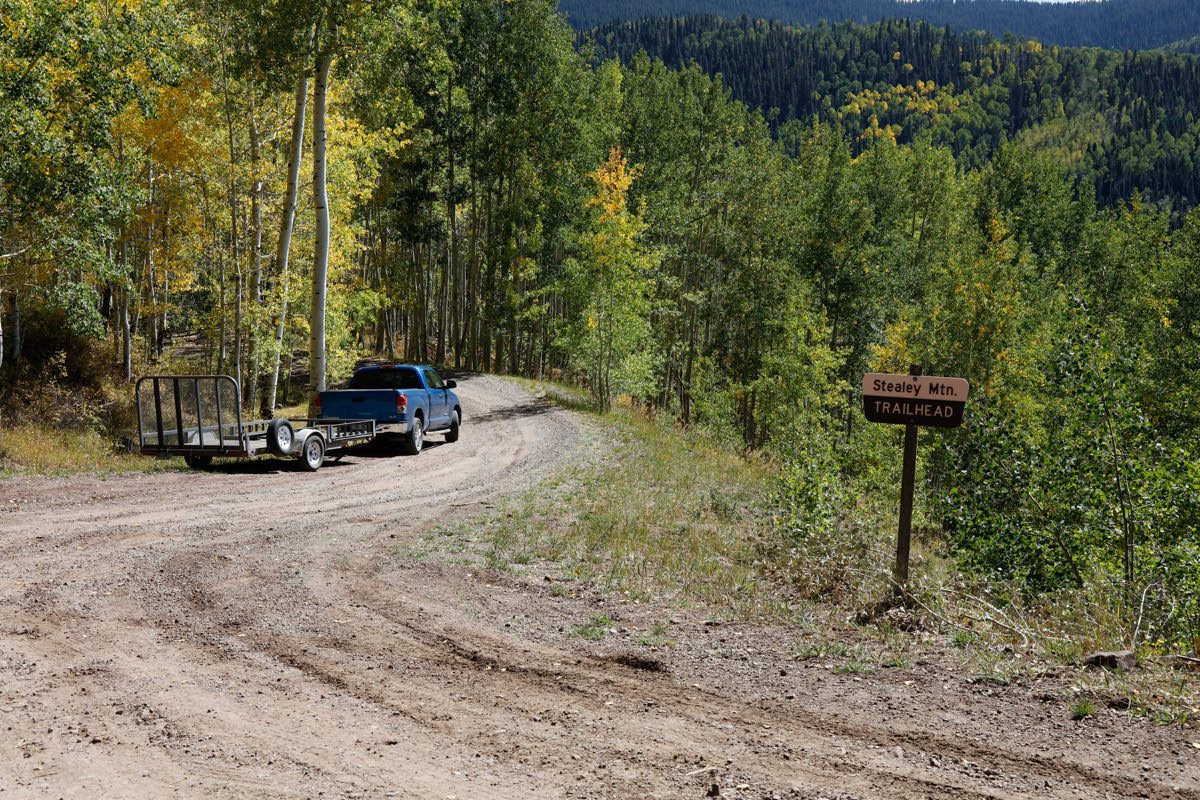
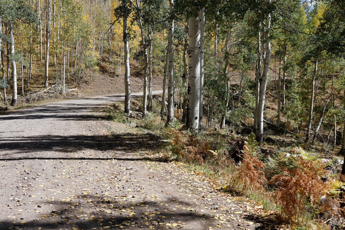
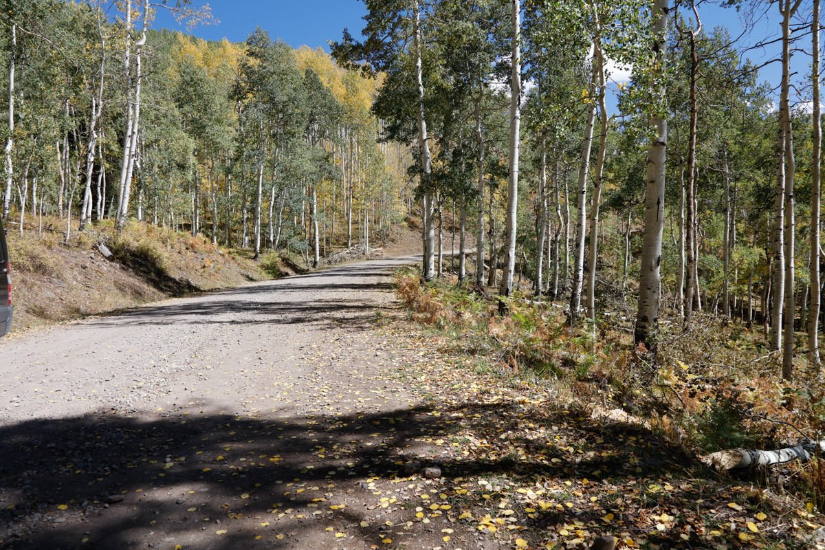
I would rate the difficulty of this trail as a 2 on a scale of 1-5 (with 5 being most difficult). The location is just off the road, but the dirt road getting there is bumpy with a few rocks and holes along the way.
I wish I could tell you that you simply drive up to this location and get the same shot as above but, that is not the case. This shot is all about the weather (both the seasonal and current).
First - this condition of this little Aspen grove is dependent on the amount of rain the area gets in the summer/fall months. Some years it’s perfect, some years it is totally dead. Second - as you can see from the image above, this was taken in a light rain with fog. Without these conditions, this shot is not near as dramatic.
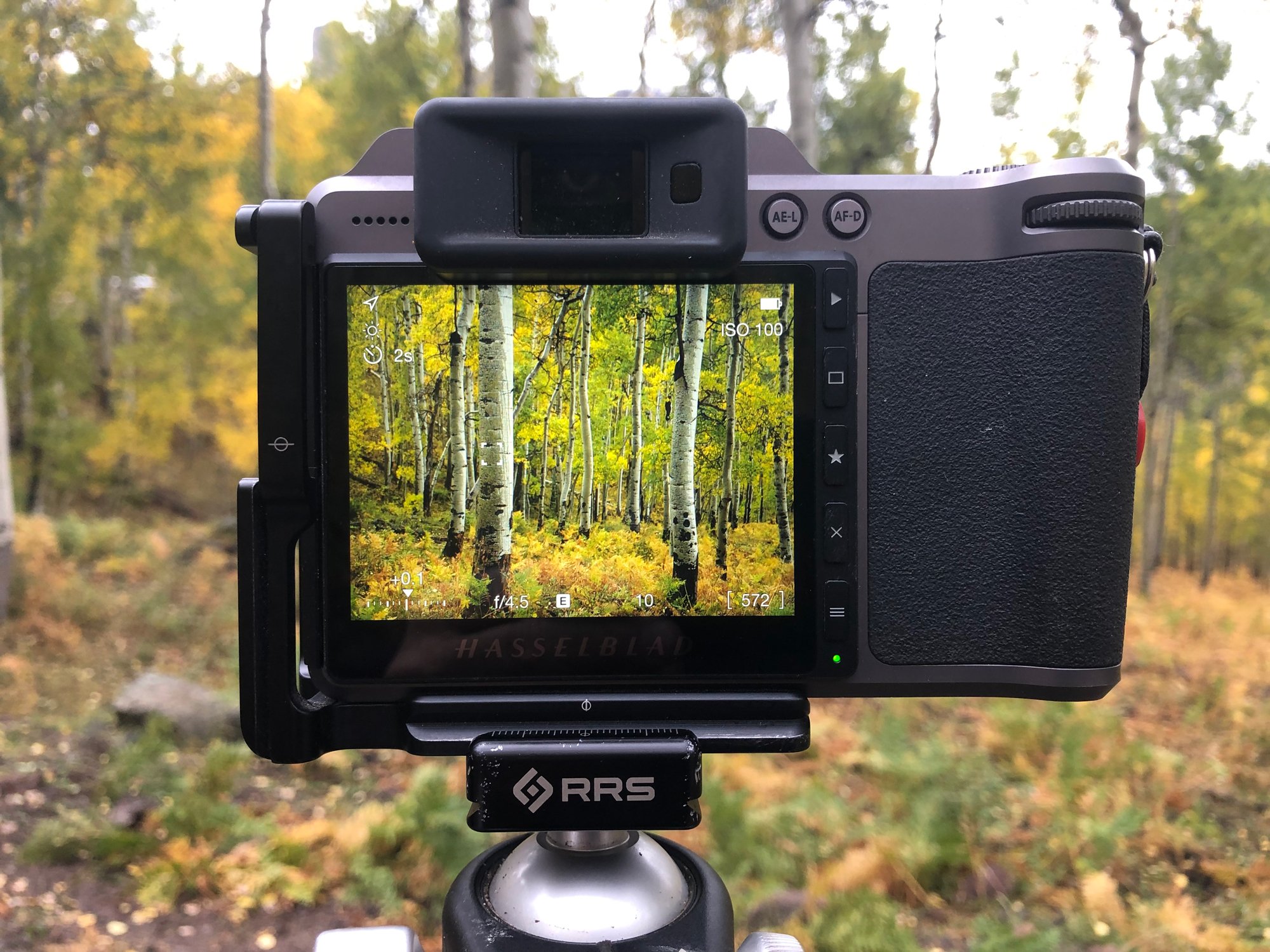
From a photography standpoint, it is a pretty straightforward shot. However, …
The above shot was taken with a 50mm lens - which allowed for some compression, but still with a sense of depth. You can use lenses that range from 24-100mm.
12,777 Ft. Elevation
Other Resources Available with Membership
KMZ Trail File
Directions
Best Time of Day to Shoot
Best Time of Year to Shoot
Equipment Needed
Permits Required
Direction of Shot
Google Maps Birds-Eye-View
Number of Photographers to Expect
Cell Service
Overnight Lodging/Camping
Nearby Restaurants
Area Guides and Workshops
Other Resources
LOCATION SUMMARIES WRITTEN BY PROFESSIONAL PHOTOGRAPHERS


