
The Lollypop

Vermilion Cliffs, AZ
THE LOLLYPOP
A BRIEF SUMMARY OF THE LOLLYPOP
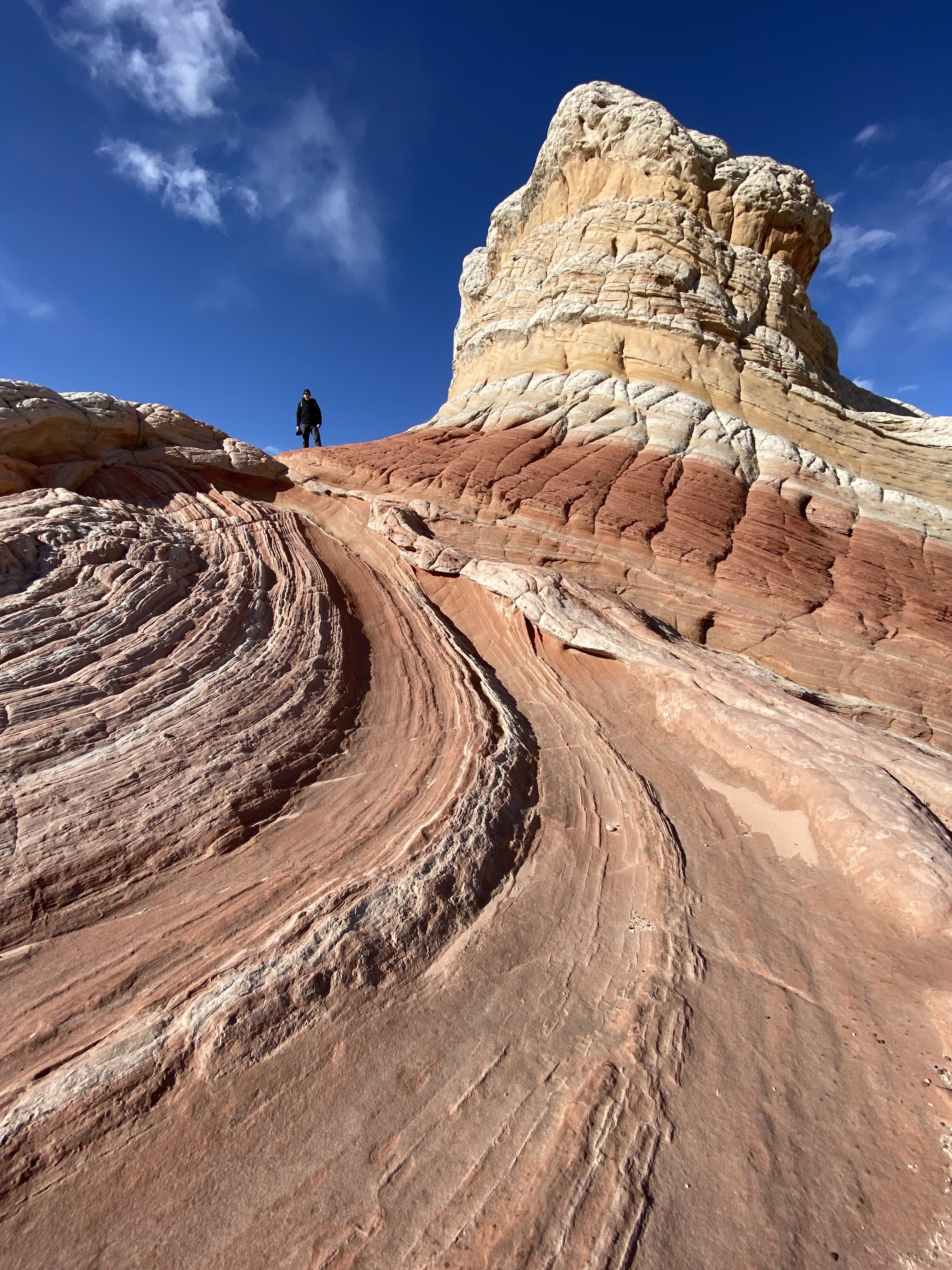
The Lollypop (also called the Swirl) is just one of the many exciting formations found at The White Pocket in the Vermilion Cliffs National Monument in northern Arizona. This formation's unique shape and colors seem to change as you view it from different angles and lighting conditions.
For a photographer, the White Pocket provides some of the most intriguing sandstone shapes found anywhere in the American Southwest. But like most unique places, this one is very hard to get to and is only accessible if you come well-prepared and committed.
Some formations at the White Pockets are delicate and could be damaged if subject to a large number of hikers - I would ask that when you visit, please do your best to preserve all aspects of this location for future visitors and always try to leave it in better shape than when you found it.
Images and location summary by Tim Wier

Annual Subscription
Lifetime Membership
DATA POINTS INCLUDED WITH THE LOLLYPOP SUMMARY
I would rate the difficulty of this trail as a 4 to 5 on a scale of 1-5 (with 5 being most difficult).
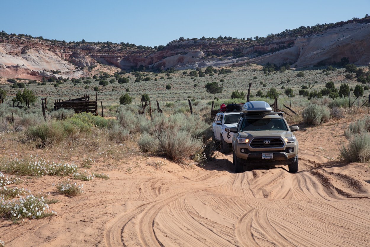
The drive to the White Pocket is 36 miles, and takes about 2 1/2 hours to get there (from US89). The majority of the long drive is on ranch-style, washboard dirt roads. However, the last 5 miles are made up of pockets of DEEP SAND and rocky sections. A 4 x 4 vehicle with good ground clearance and off-road tires is a must. If you get stuck, it is very difficult to dig yourself out, and the cost for extraction can run upward of $1,000.
Even if you have a high clearance, 4-wheel drive vehicle – you should consider letting air out of your tires down to 15 - 20 lbs of pressure to allow your tires to expand and gives them more traction in deep sand. For this reason, you will need a portable air compressor for the ride home.
TAKE THE DRIVE SERIOUSLY! If you are driving a street version (rental) SUV with 2-wheel or all-wheel drive and think you can make it to the White Pocket. Think again because you stand a strong chance of getting stuck! White Pocket is deep in the Arizona desert and is 60 miles from the nearest community. There are no trees, shade, water, or cell service.
You can photograph this formation in the late afternoon (just before sunset or early morning (just before sunrise). The image above was taken toward the end of the day when the sun was just above the horizon (about 20 minutes before the stated sunset time).
The colorful rock formation changes perspective and colors as you walk around. Try different angles, lenses, and positions to find your favorite composition. Try not to get too close, as the face of the rock can begin to overwhelm the scene …
This rock formation changes shapes and compositions as you walk around it. I used a 16mm lens to accentuate the curves and unique facing of the rock.
5,844 Ft. Elevation
Other Resources Available with Membership
KMZ Trail File
Directions
Best Time of Day to Shoot
Best Time of Year to Shoot
Equipment Needed
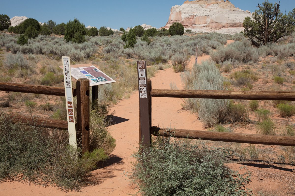
Permits Required
Direction of Shot
Google Maps Birds-Eye-View
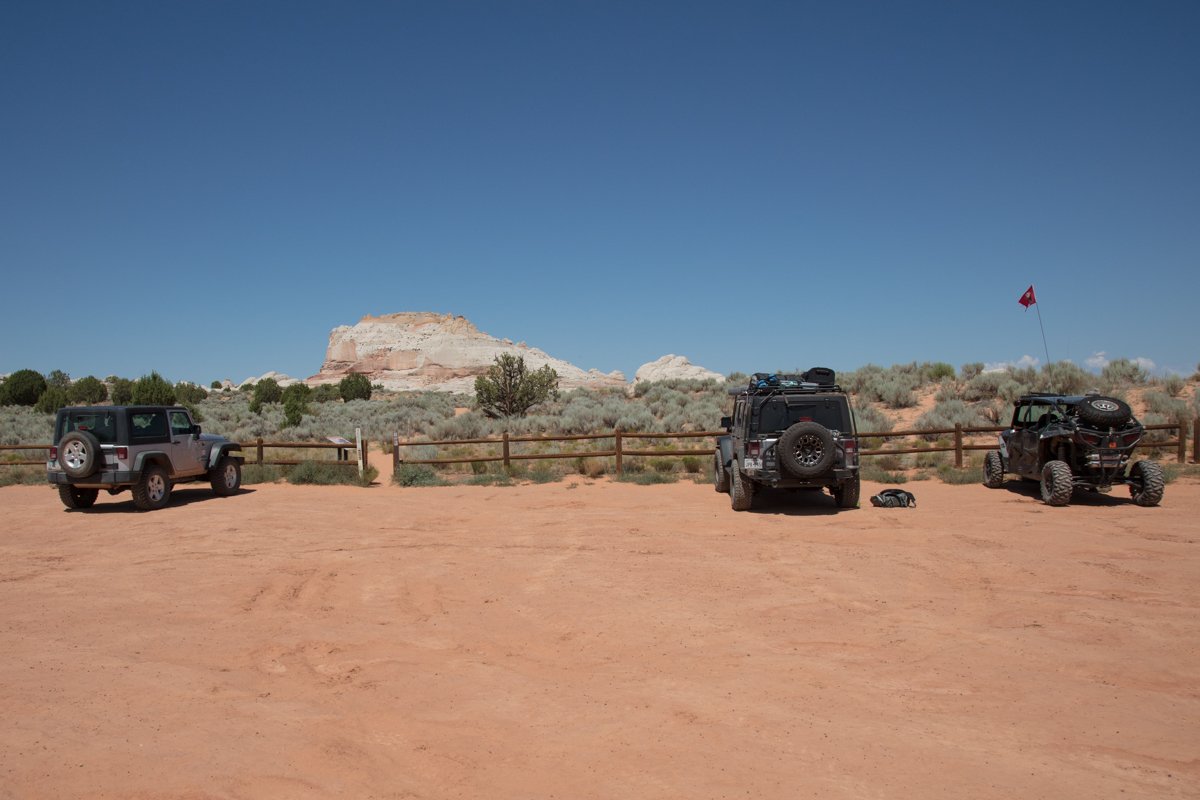
Number of Photographers to Expect
Cell Service
Overnight Lodging/Camping
Nearby Restaurants
Area Guides and Workshops
Other Resources
LOCATION SUMMARIES WRITTEN BY PROFESSIONAL PHOTOGRAPHERS


